JUST BEYOND MELBOURNE’S eastern suburabn fringe, The Dandenong Ranges provide drinking water and mental cleansing for city residents. Continuing east, there are superb national parks, ski fields, old country towns and ports, 90 Mile Beach, and the tall forests of Gippsland.
Most remain on my “next time” list, but with Covid-19 looking like that house guest who just won’t leave, that could be sooner rather than later.
Mount Baw Baw is a few short hours east of Melbourne, past the old village of Walhalla.
Best known as a ski destination, Baw Baw rises to 1567, ASL, where changes in flora are evident.
Some of the walking tracks are quite steep. At one point further along this track, if we had descended, we would not have been able to walk back up.
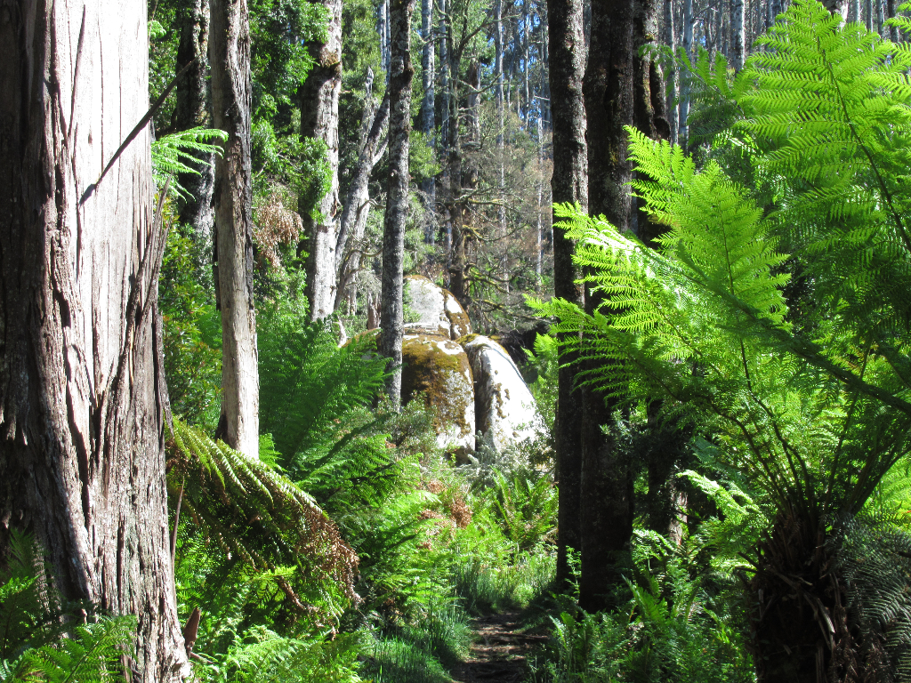
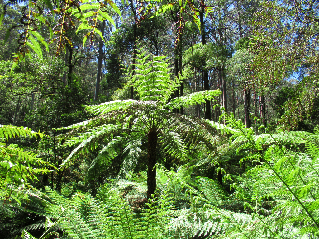
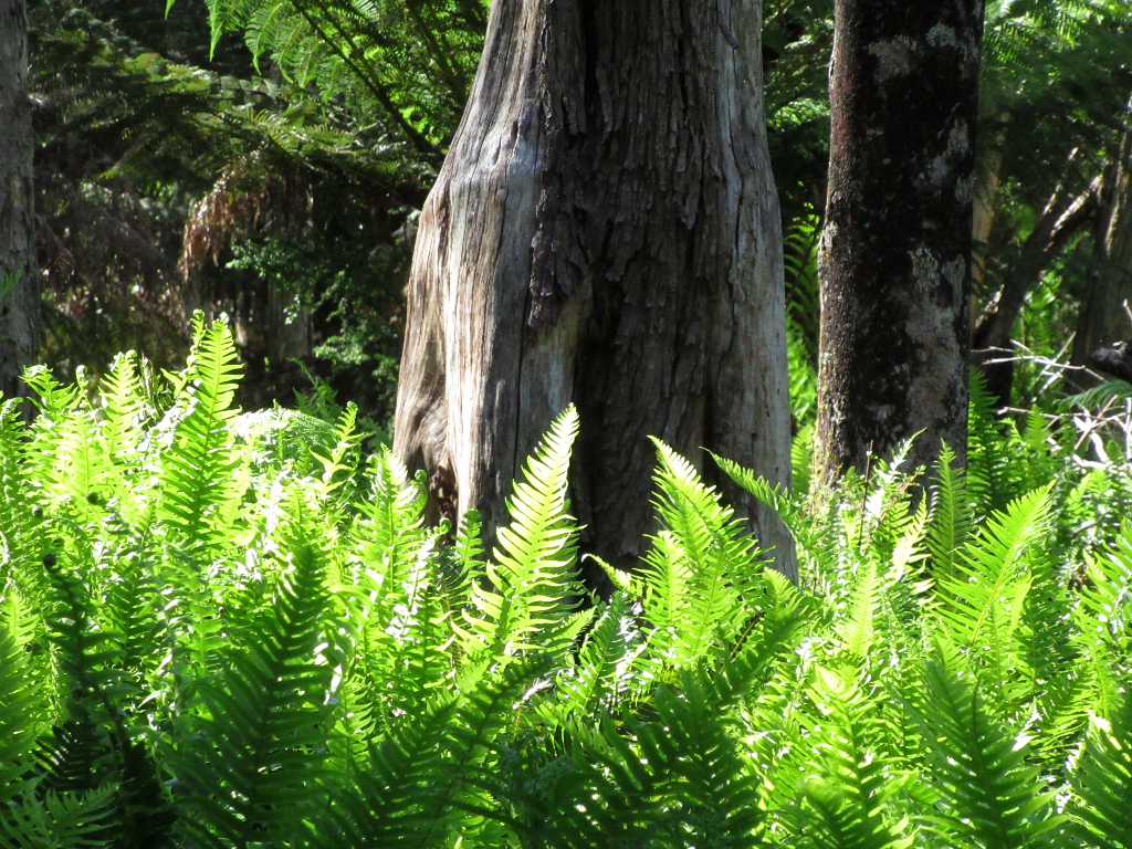
Ferns emerge as you ascend.
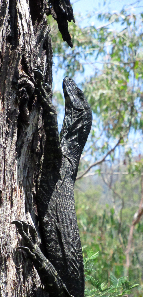
Goannas are commonly seen and heard around the campsite.....
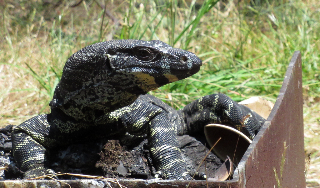
......often scavenging for food left by idiots that can't read the "LEAVE NO RUBBISH" signs.
A small river with a pool makes the small campground refreshing in summer.

We didn't see much wildlife besides goannas, but the flora made up for that.
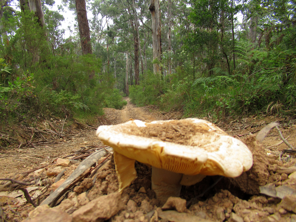
No idea if it was edible.

Butterflies are notoriously difficult to photograph, so when I get one, I have to share.
Bunyip State Park is right on the eastern edge of Melbourne, in the Dandenong Ranges.
A mid-week, mid-winter camping trip there, we had the whole place to ourselves. Temperatures dropped below zero- maybe that is why?
Bird watching at Bunyip was very good. Plenty of action in the camp, and we got several lyrebird sightings.
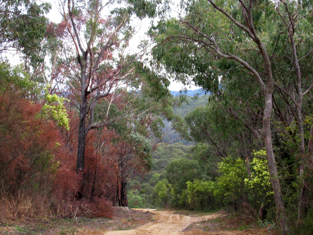
About 90 minutes from Melbourne, Warburton is a quaint old logging town turned nature based toursim town.
Many short as well as multi-day walks begin and pass through the small town.

La La Falls can be reached in around 30 minutes.
Nature shows the many weird ways she works.
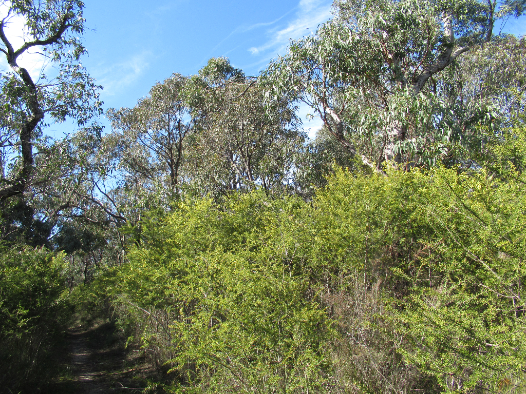
The forests and walkways provide breathing space for Melbournians, both literally and figuratively.

Trails, both walking and cycling, criss-cross the area.
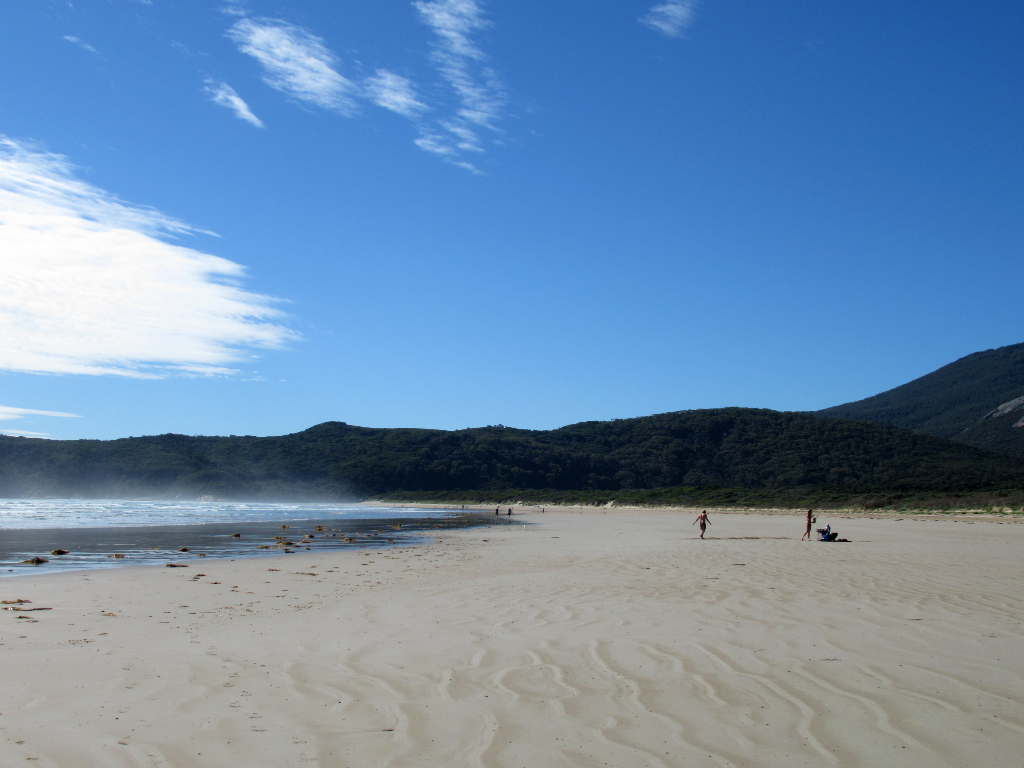
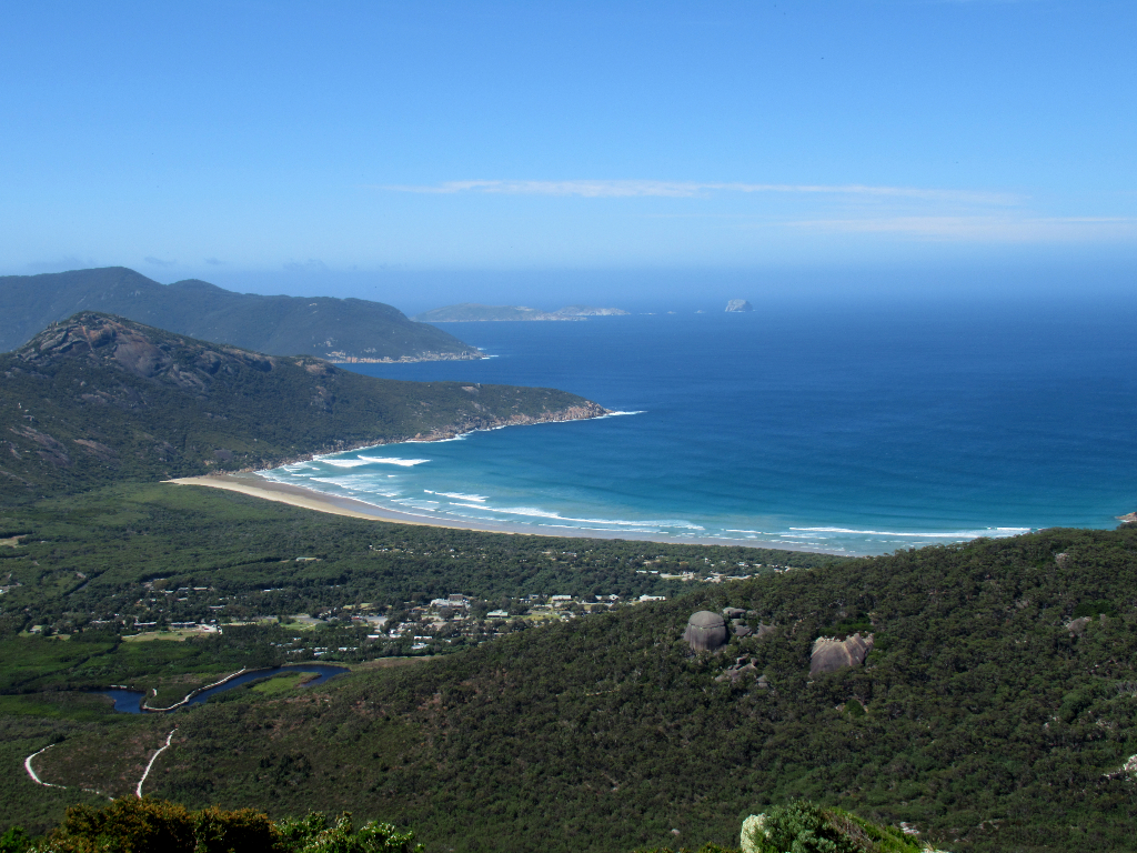
250km east of Melbourne is one of Australia's oldest and most popular national parks, Wilsons' Promontory.
The beaches probably draw more people than the excellent forest walks.
This bay and beach is a short 3 minute walk from the main Tidal River camp area.
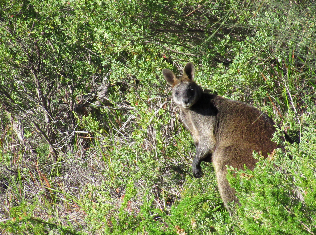
Wombats are commonly seen around the camp area, and wallabies also make appearances.
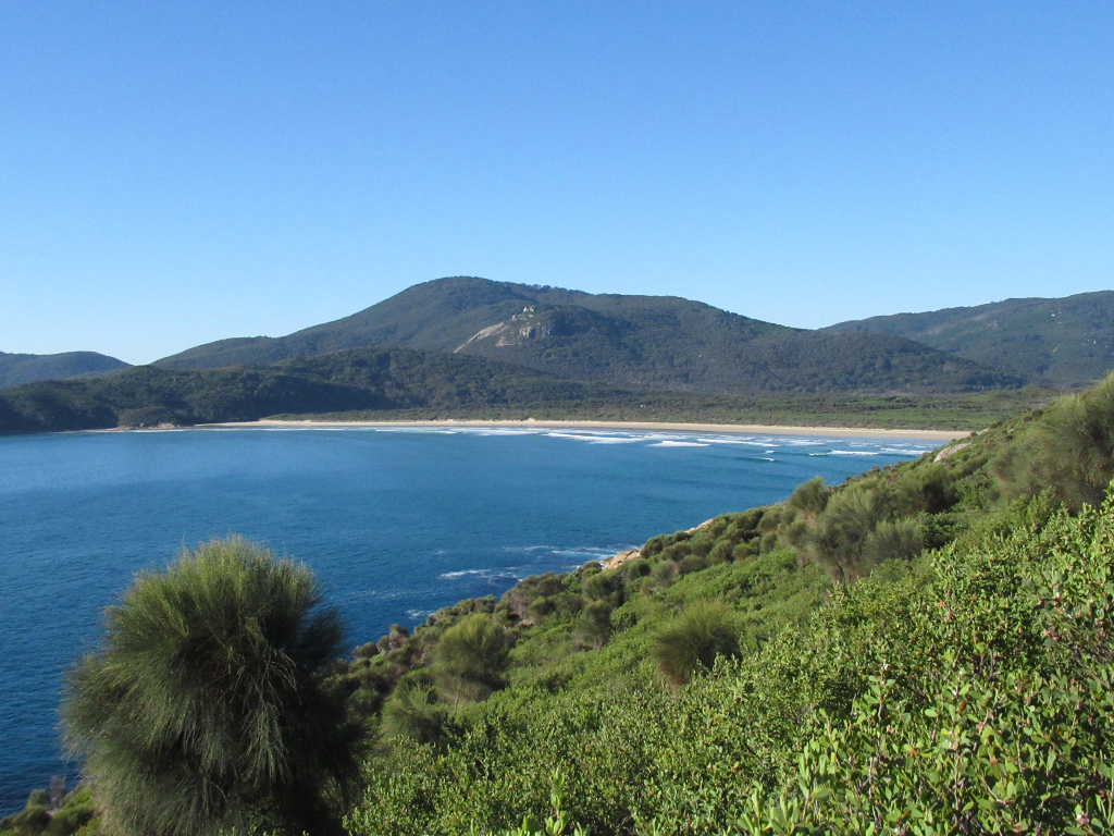
The geography and elements have created some fabulous examples of nature.
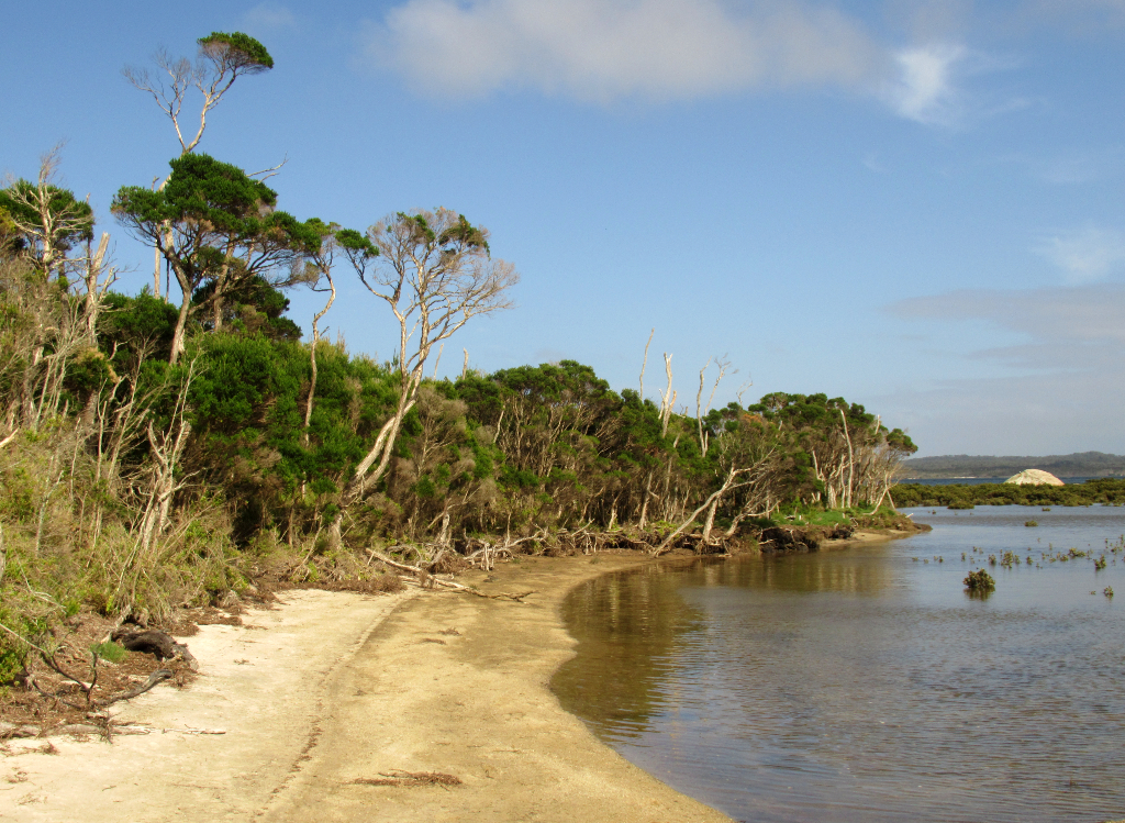
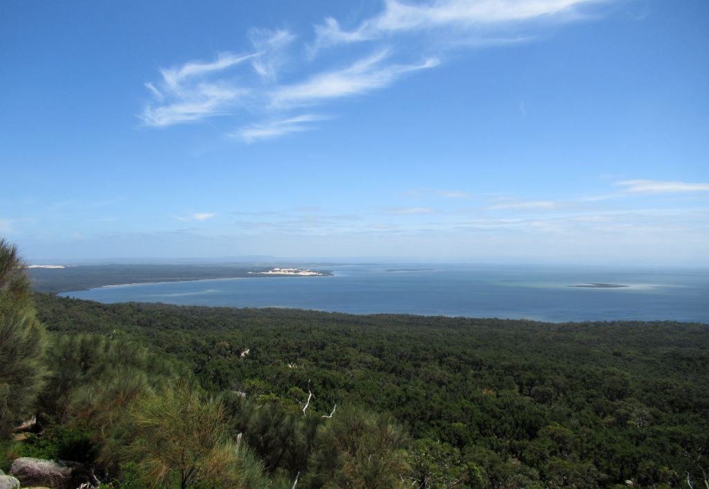
The world's most southerly mangroves are at the end of a 1-2 hour hike. Not something you expect to see in southern Victoria.
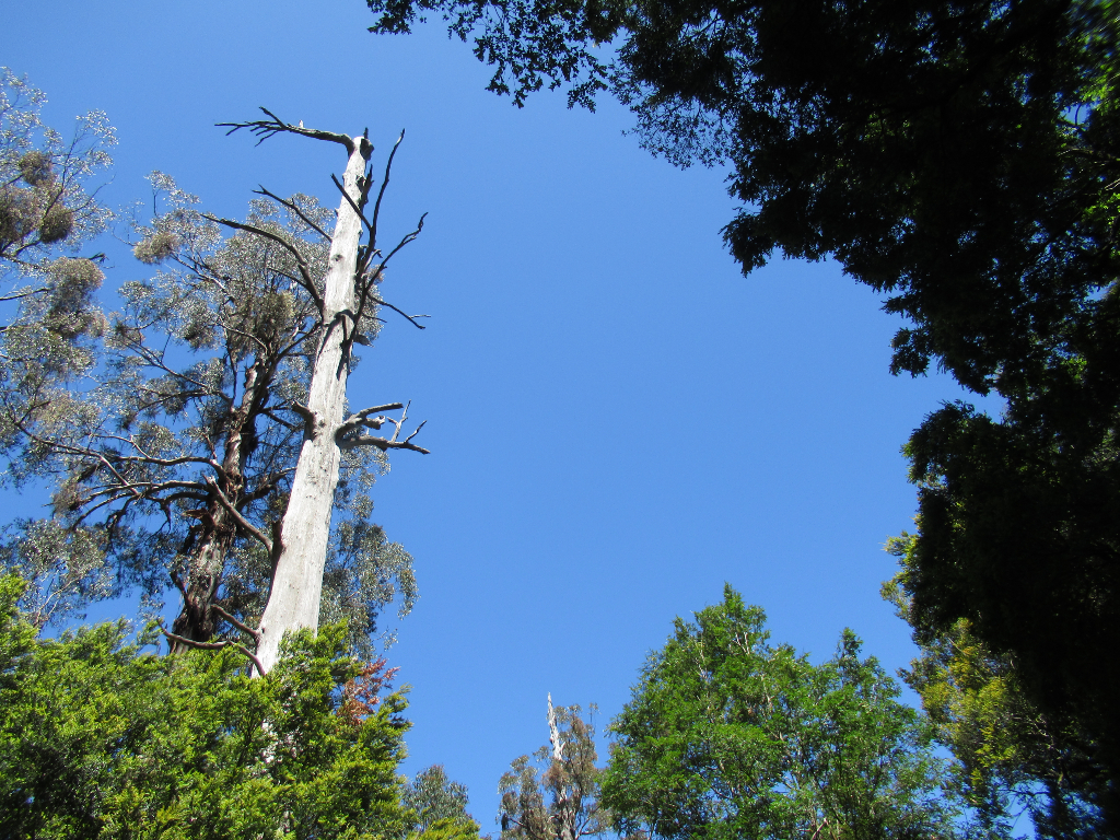
Dead trees along the coastal walk by the magroves.
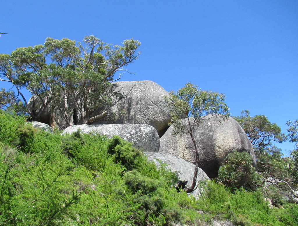
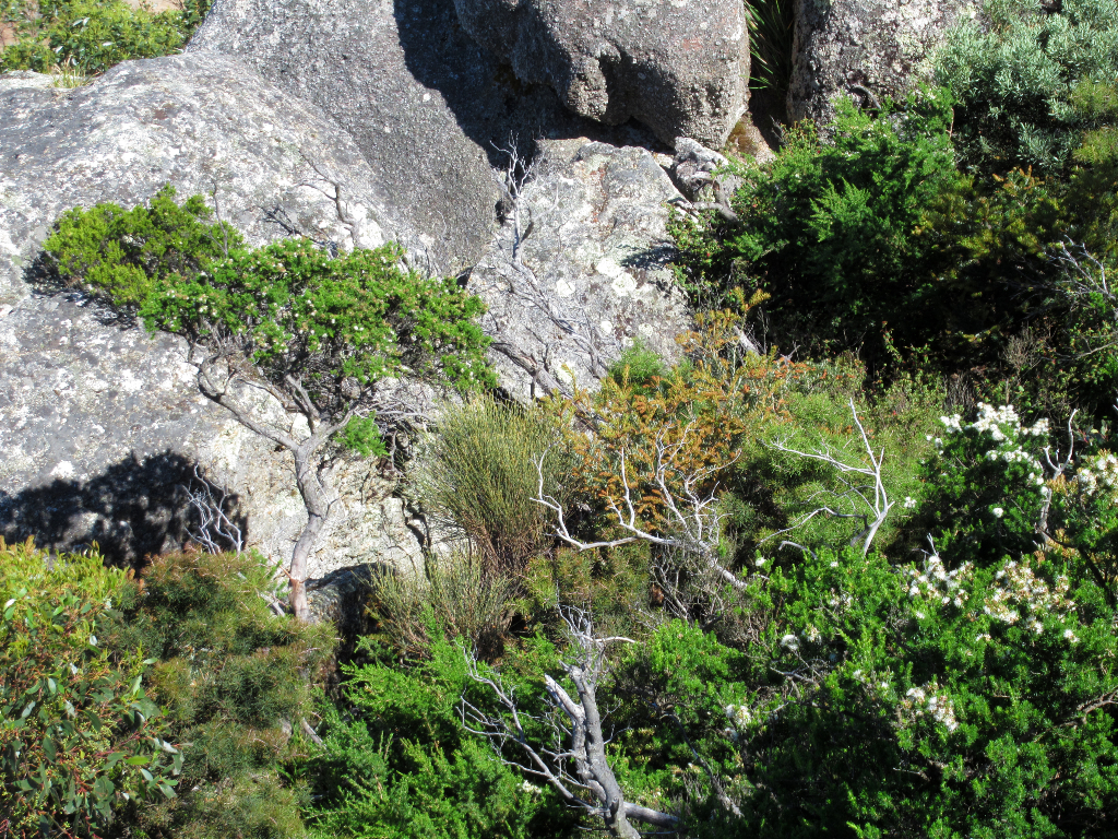
Some of the more rewarding hikes are up the rocky outcrops.
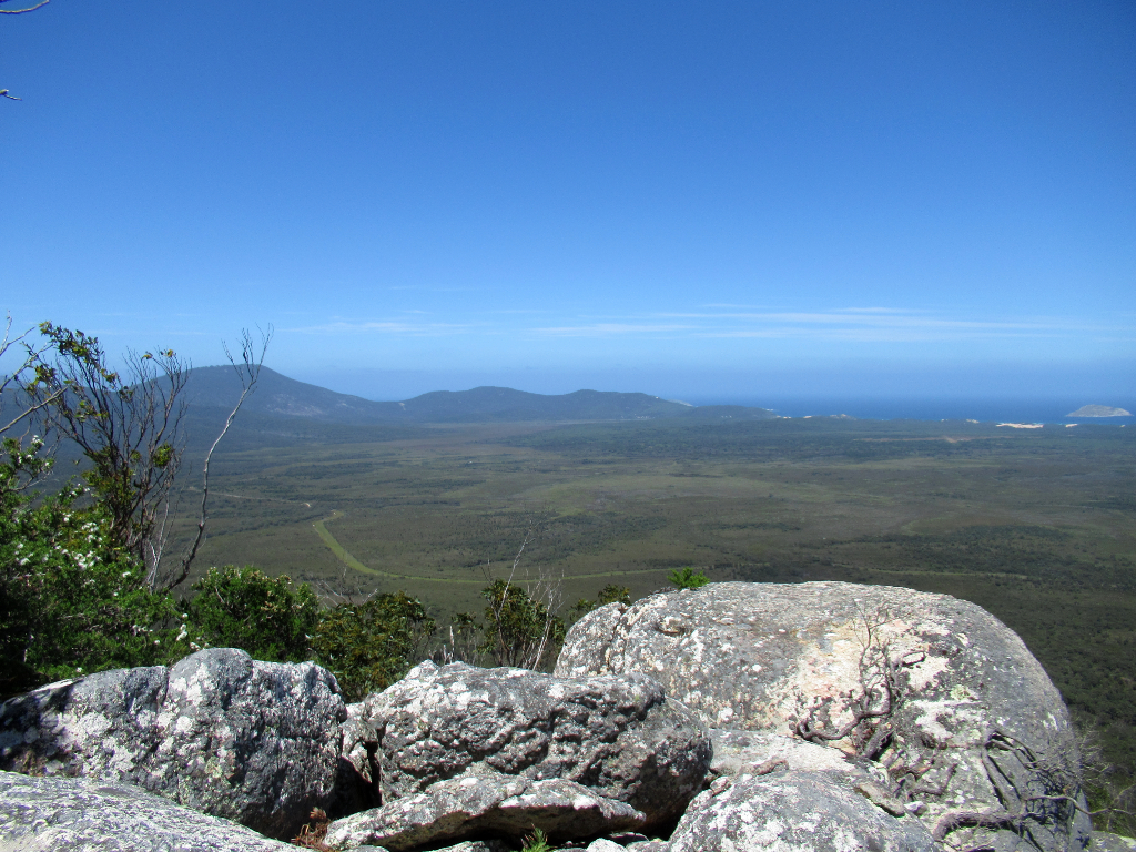
Some hard slog up the hills rewards with fine views.
Watch out for the winds though!
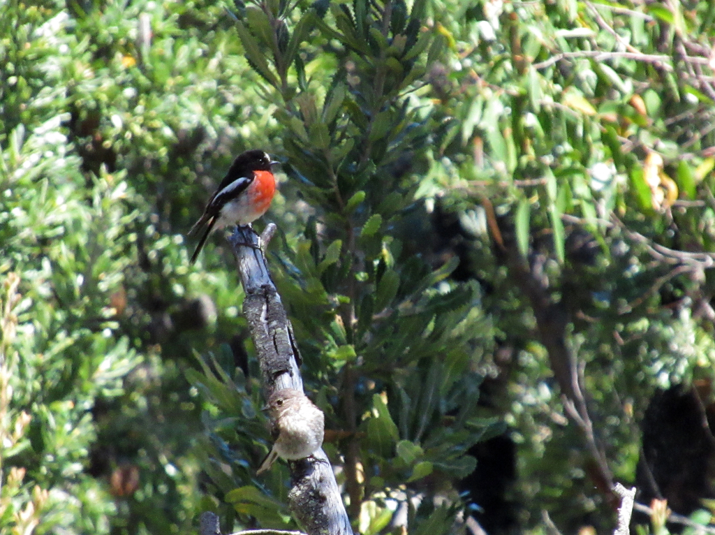
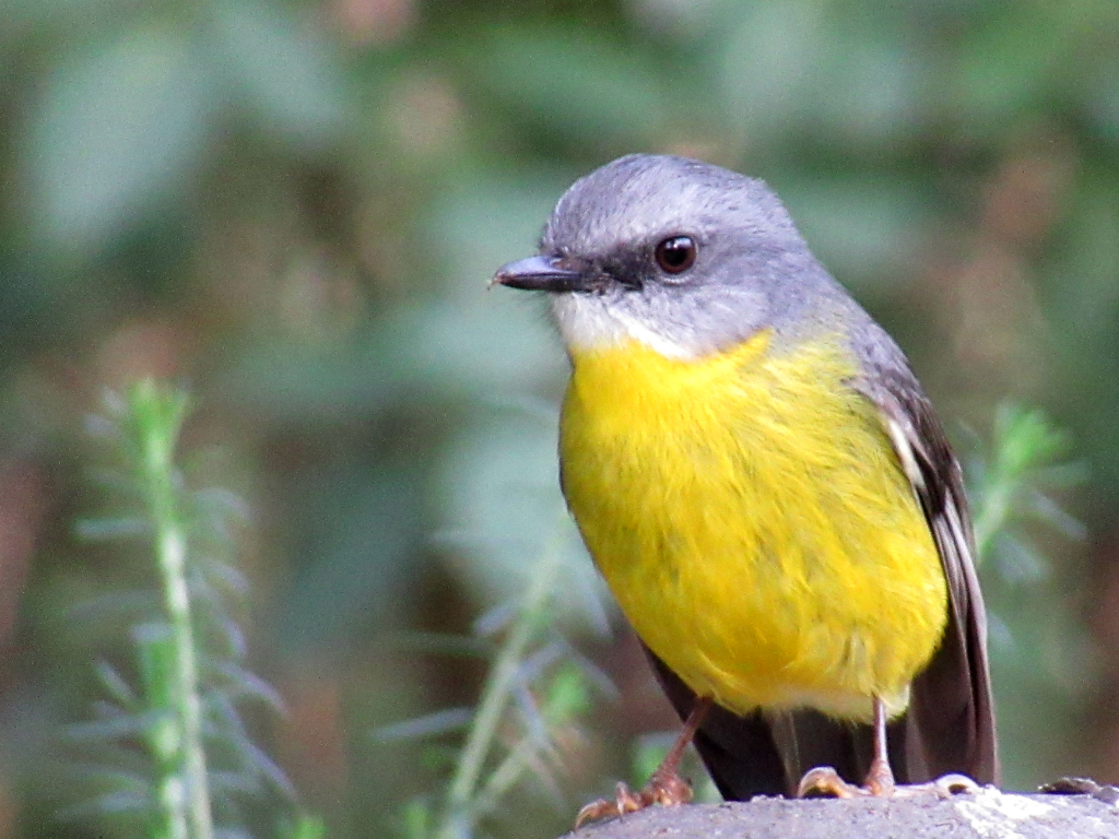
A pair of scarlet robins.
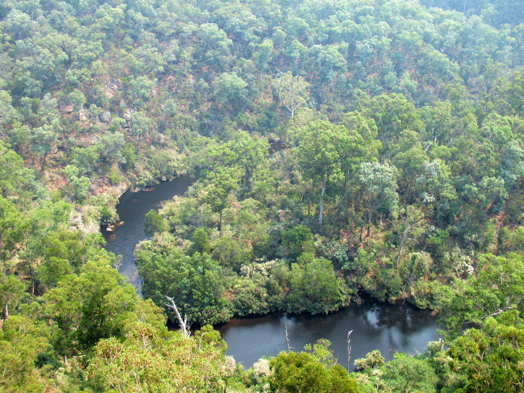
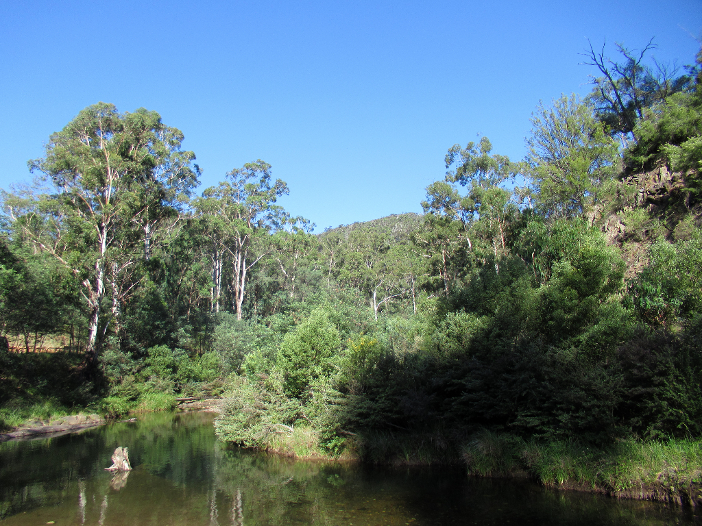
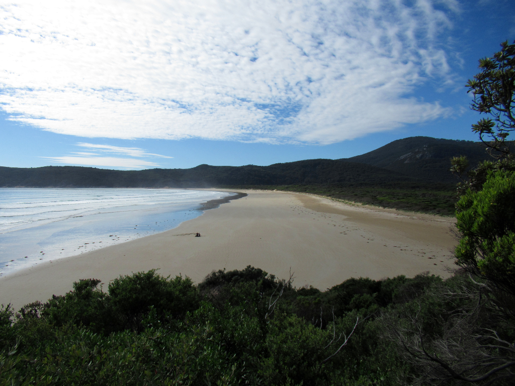
Between the beaches and the forests, a river winds its way to the sea.
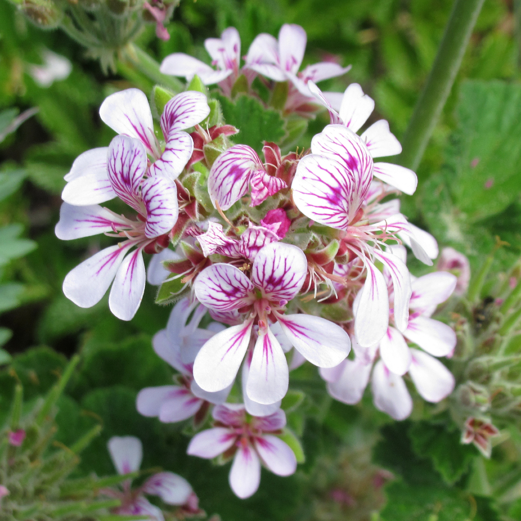
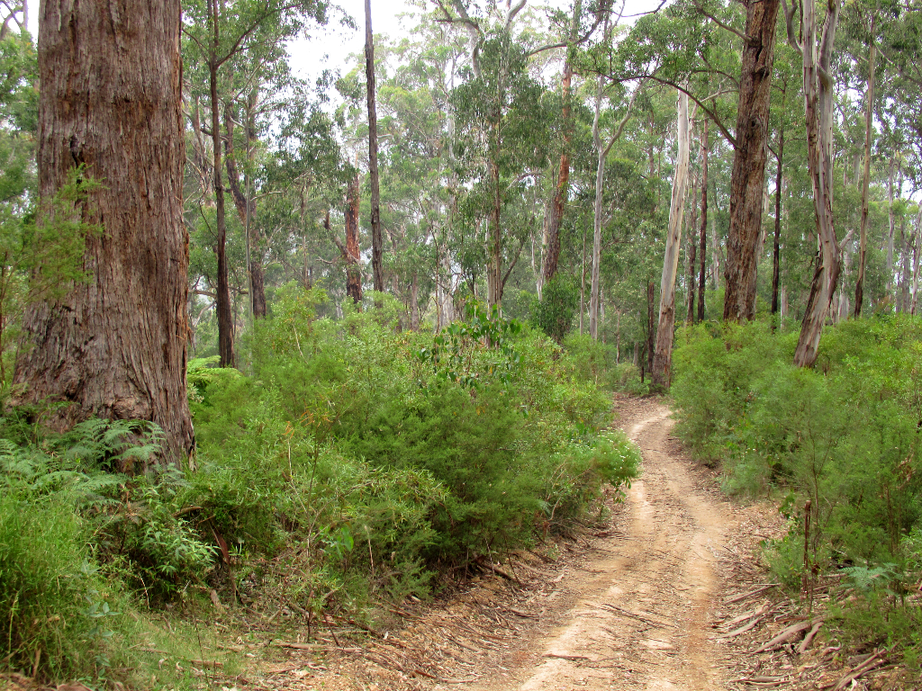
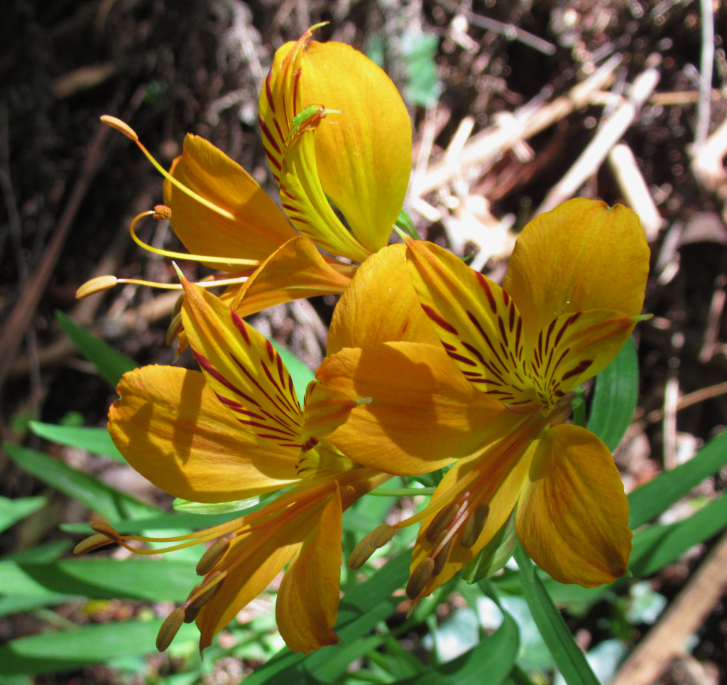
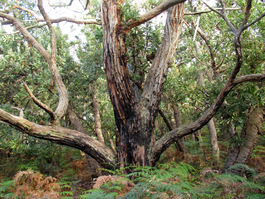
Some of the fine flora seen along the forest walks.
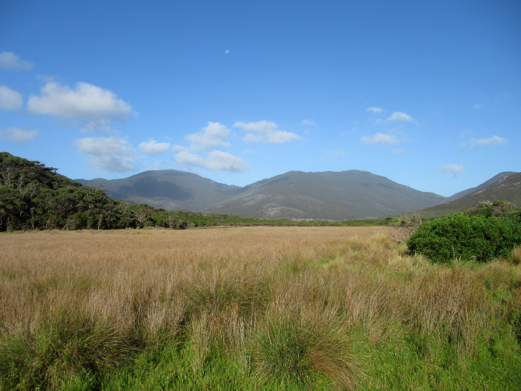
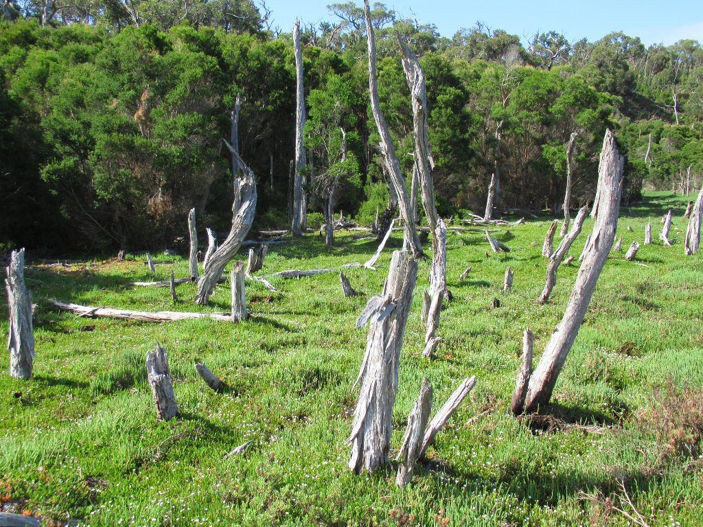
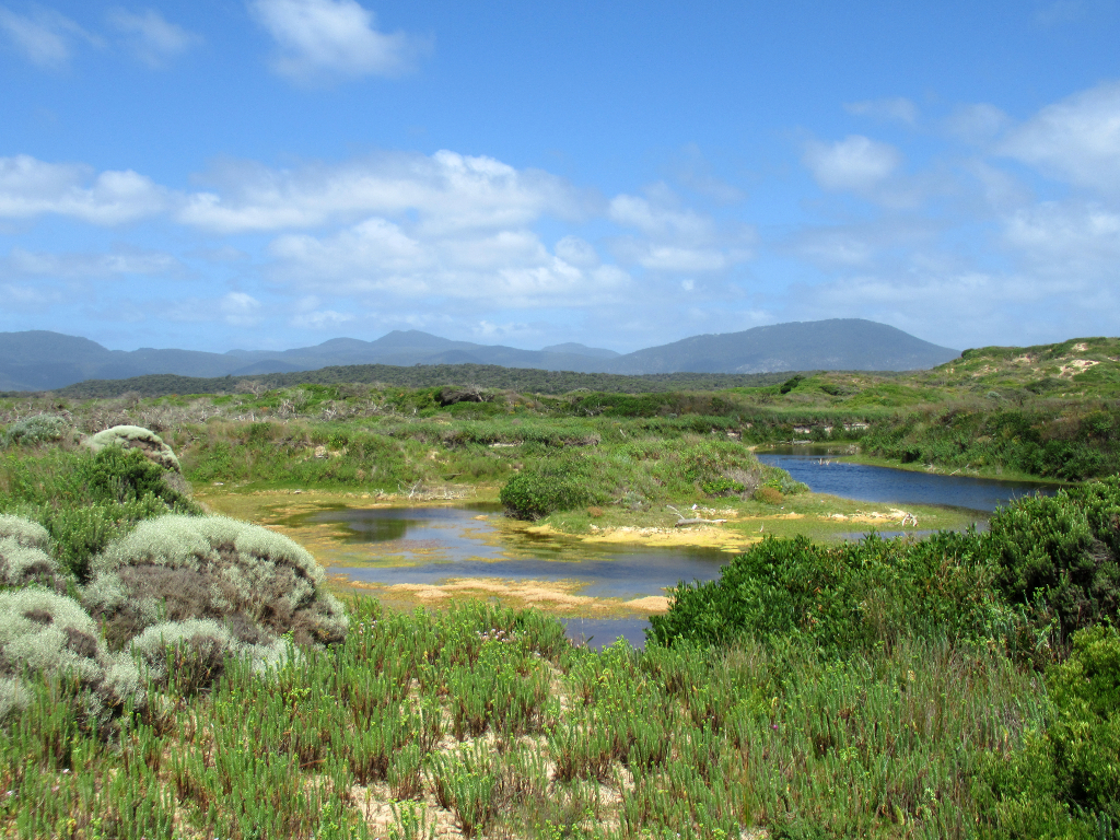
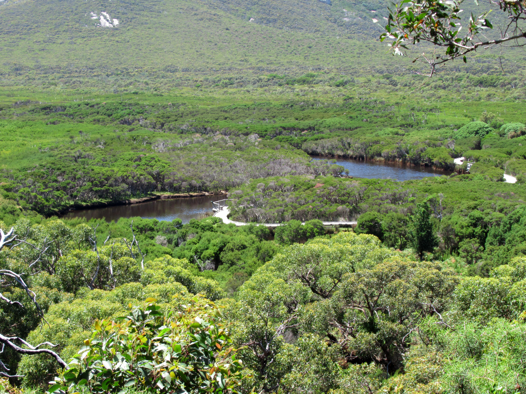
This wetland is just behind the Tidal River camp area, and begins a number of rewarding hikes.
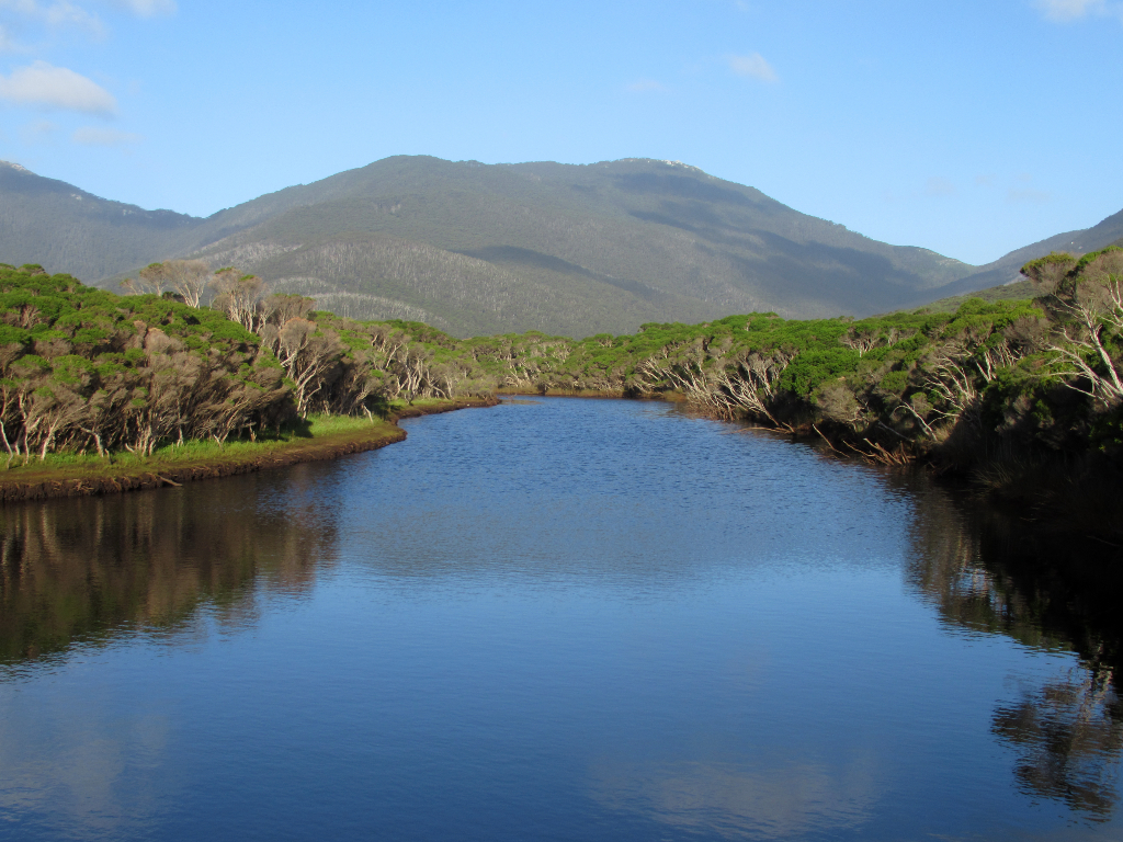
More river views from around the park.
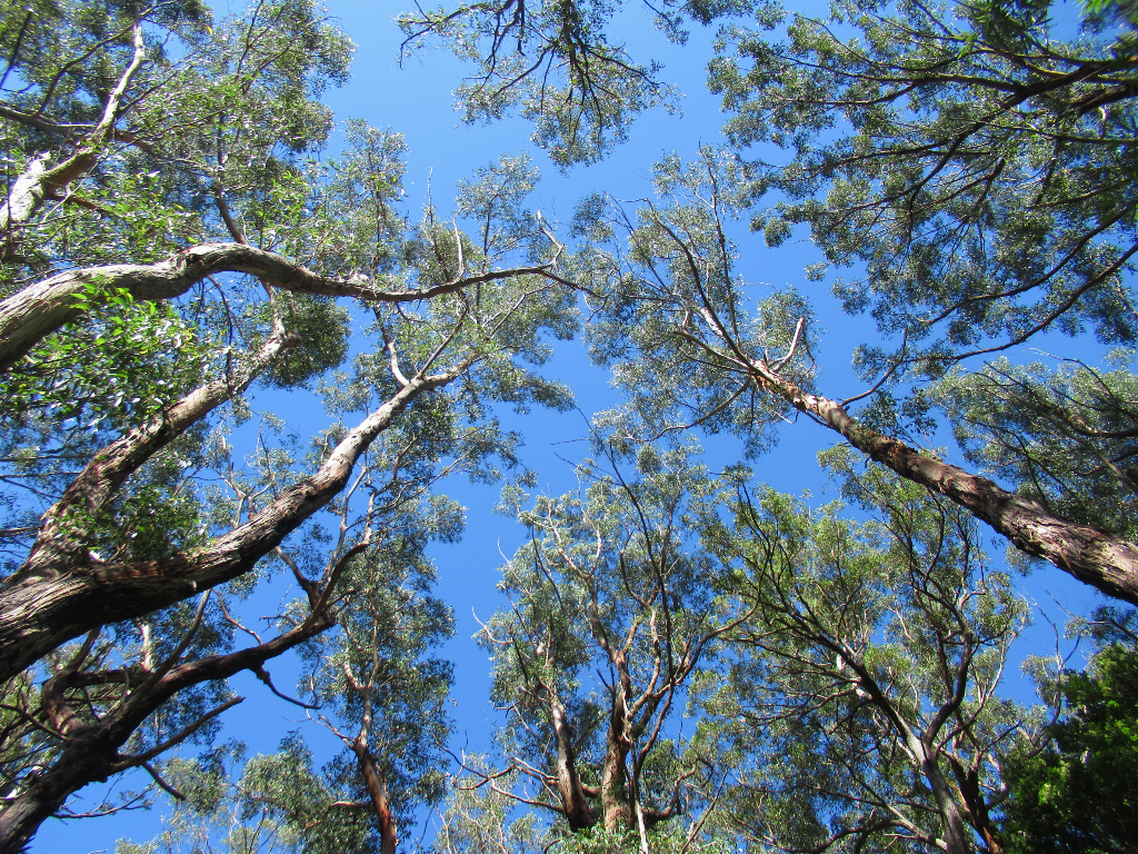
Looking up through the forest canopy.
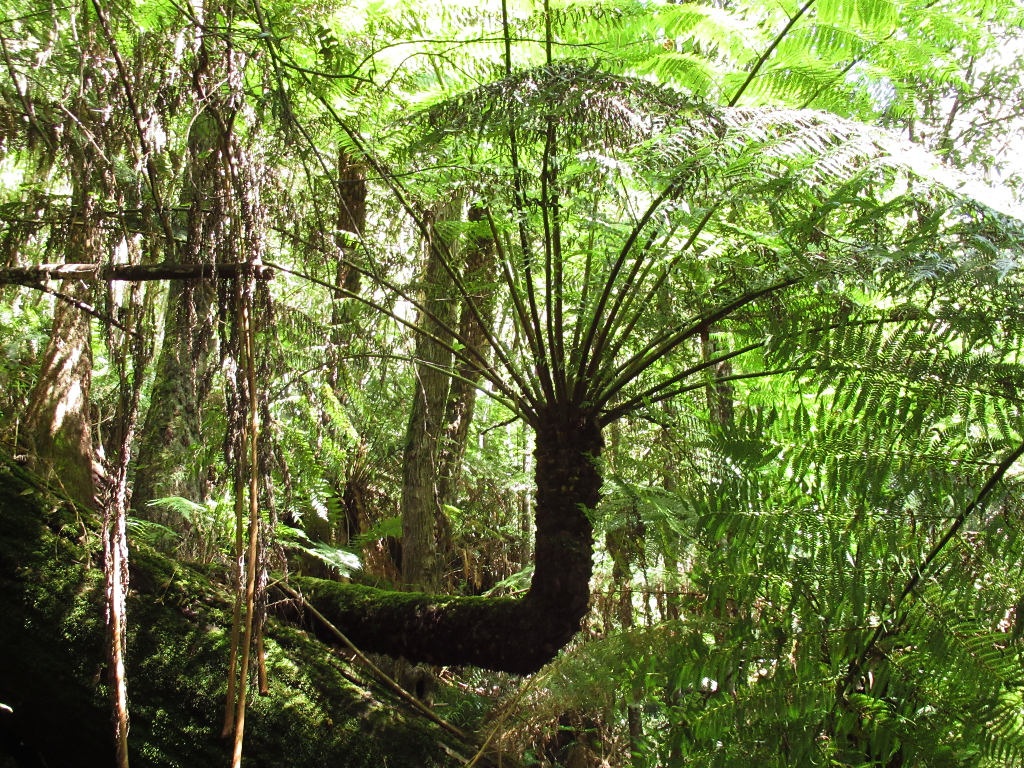
Ferns and tall trees on one of the nature trails.
Tidal Tiver and the campground in the foreground.
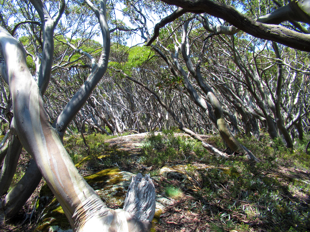
Gnarly trees and shrubs, twisted by the wind, cling to the rocky cliffs.
Campsites often book out well in advance in busy times, which with so much on offer, is hardly surprising.