HEAD NORTH WEST FROM Melbourne, past the Goldfields and you’ll come to Gariwerd, a sacred Aboriginal area you may know as The Grampians. You have left the Great Dividing Range behind.
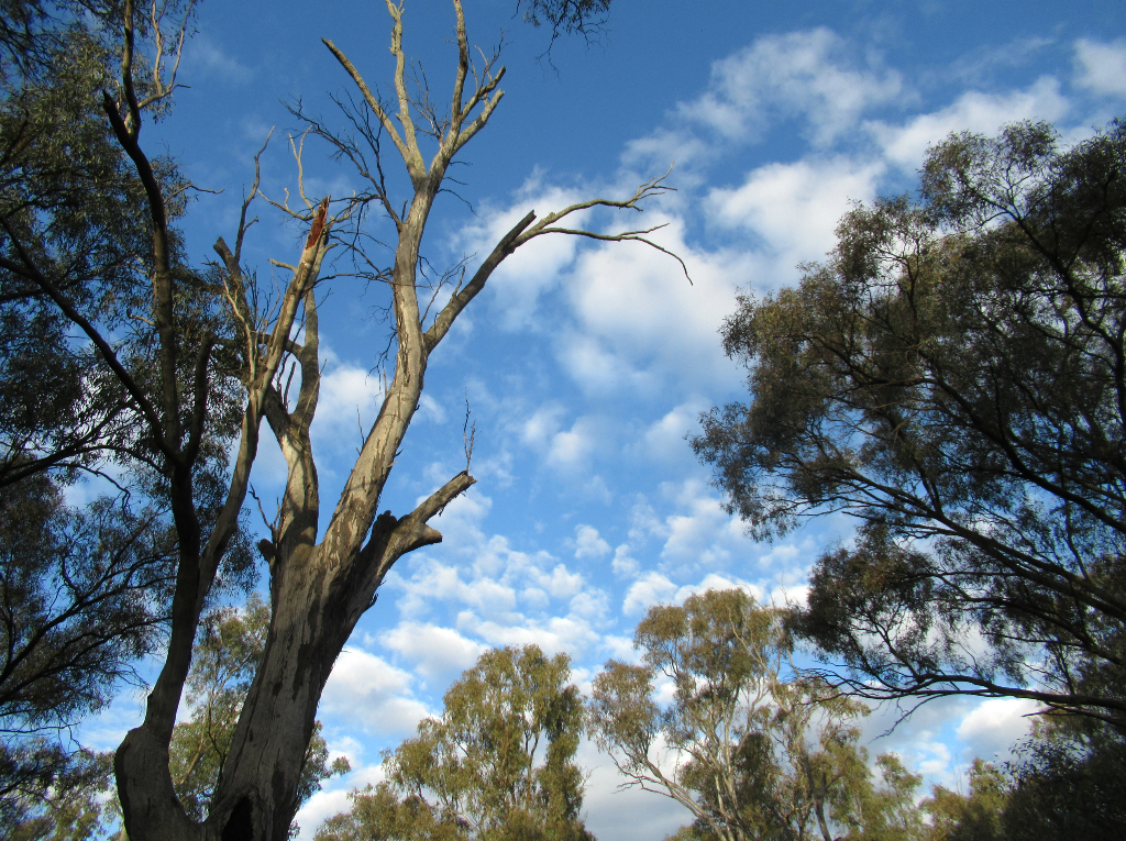
To the north, are the mighty red gum trees of the Murray. West or north west, the trees thin out, wheat fields preval, the soil gets sandier, trees shorter and landscapes scrubbier. You are sooon on the edge of the deserts, heading to the interior of Australia.

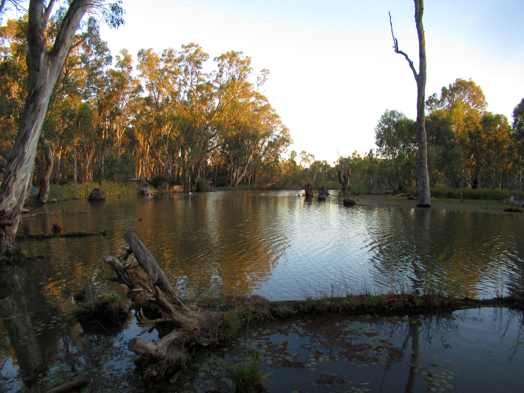
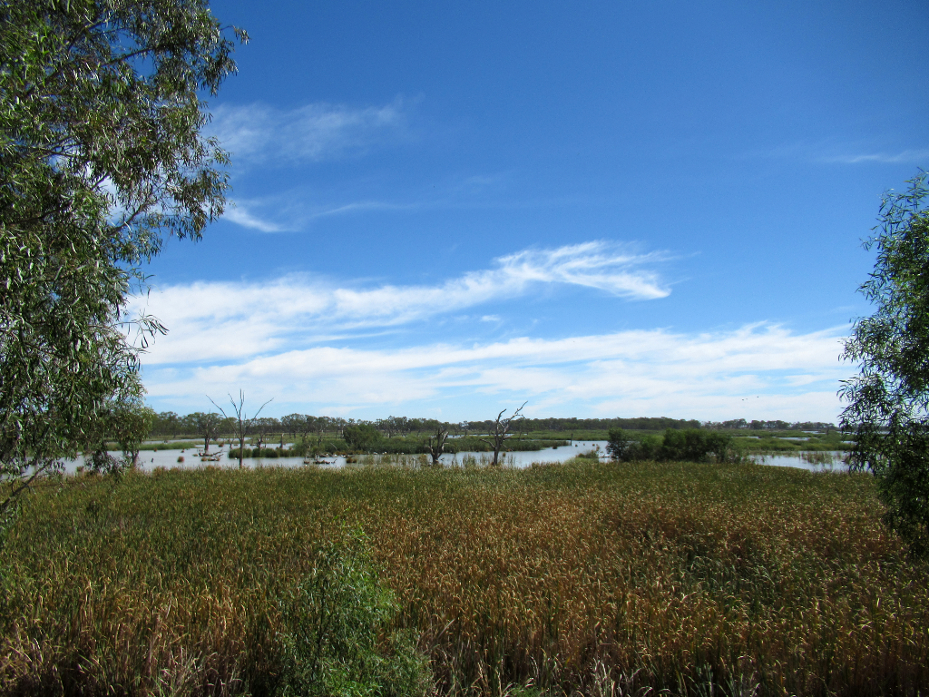
Lake Culleraine is in the far corner of Victoria, just over the South Australian border.
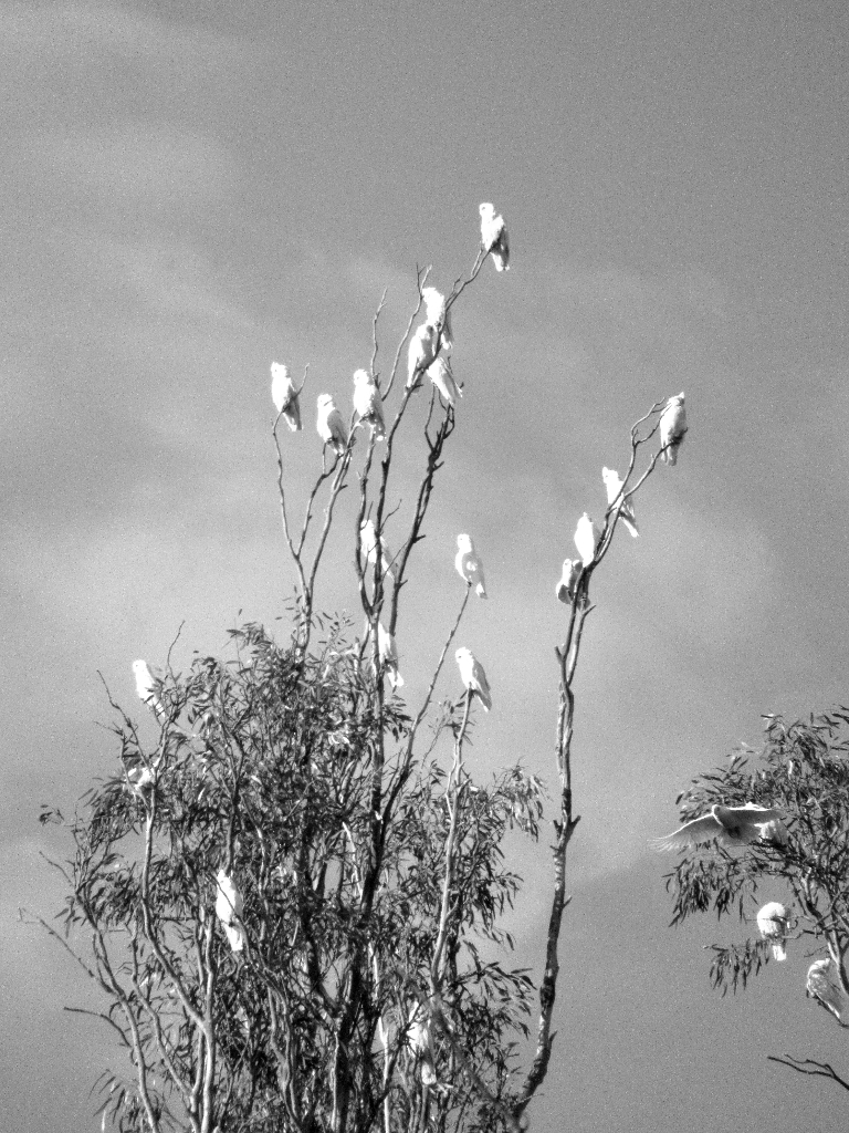
Not only did the weather turn on a great sunset, but the trees were full of corellas (and galahs, cockatoos) and the lake with water birds.
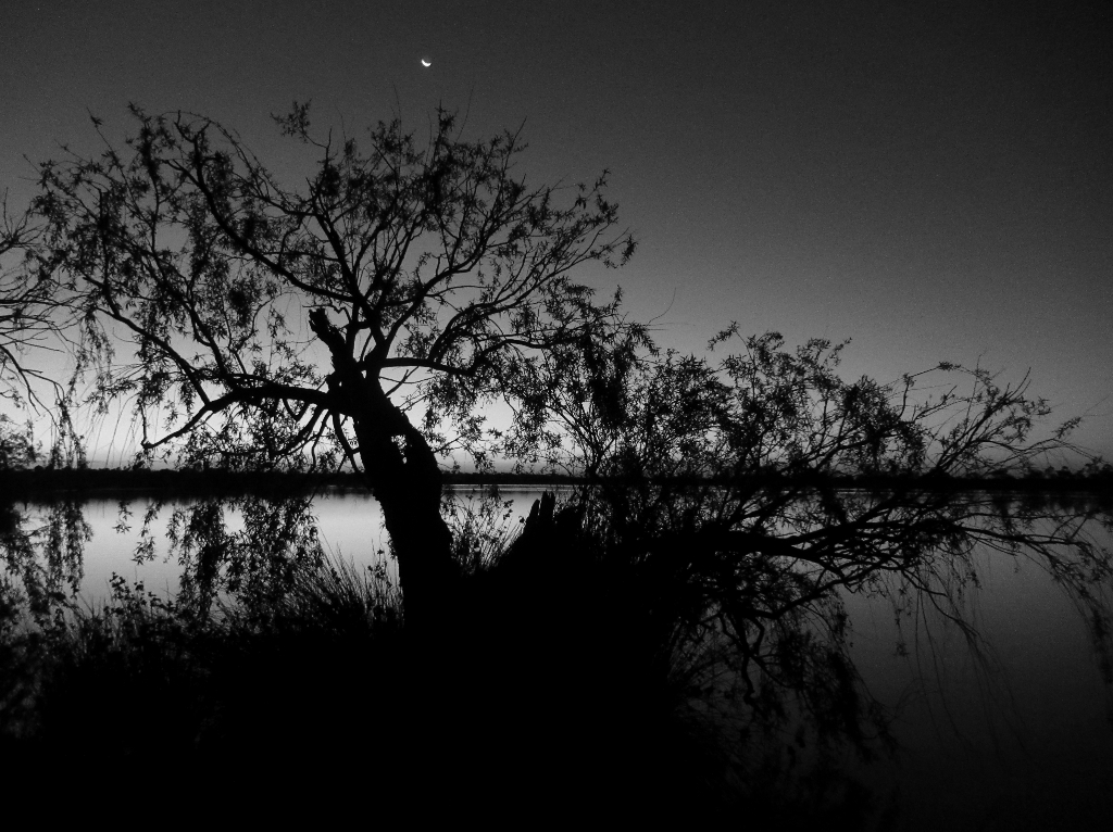
This was our last stop on a 4500km drive from Darwin to Melbourne.
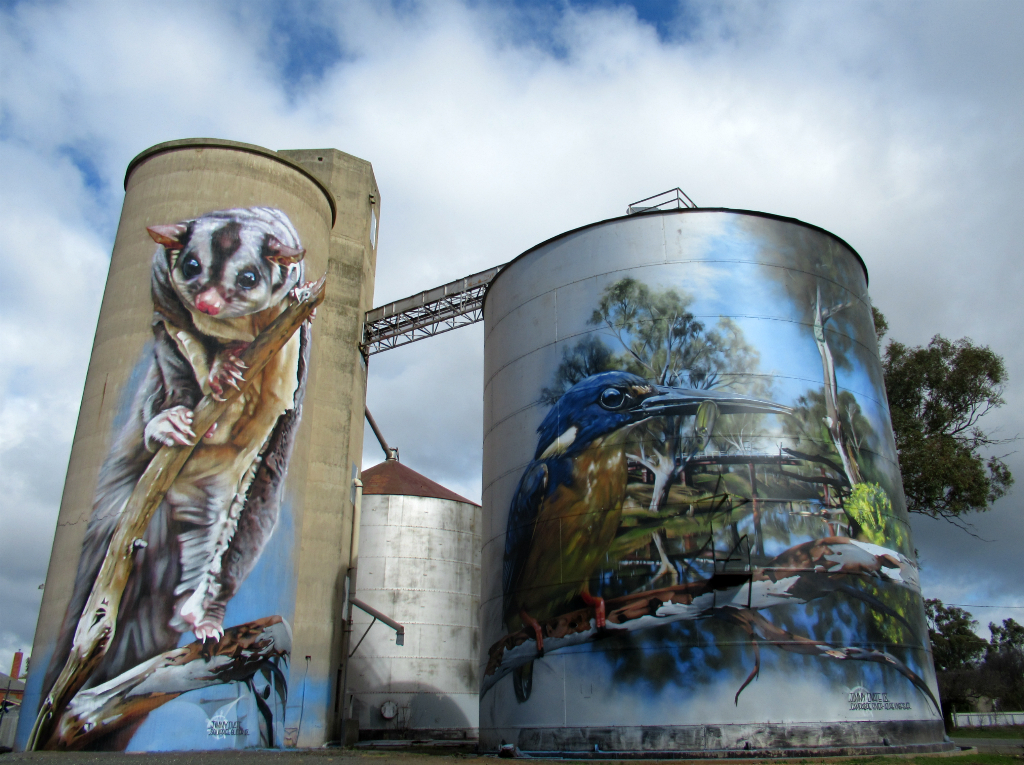
Wheat silos in many places are now covered with huge artworks, bringing tourists dollars. We stopped here at Rochester, and ended up in the pub for lunch.
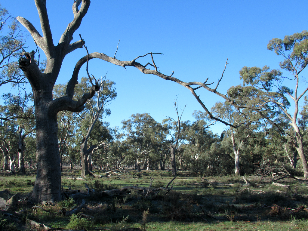
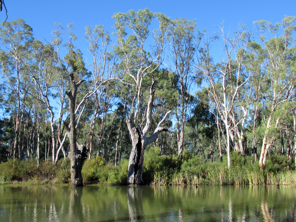
The mighty Murray River at Echuca is under three hours from Melbourne, and there are numerous camp spots amongst the trees. Echuca was once an important river trading port.
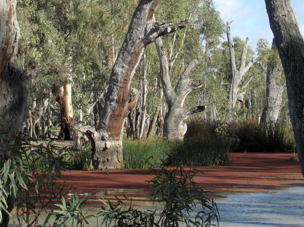
Just outside Echuca, Barmah National Park offers great Murray views amongst tall river red gum trees. Feral horses wander the area.
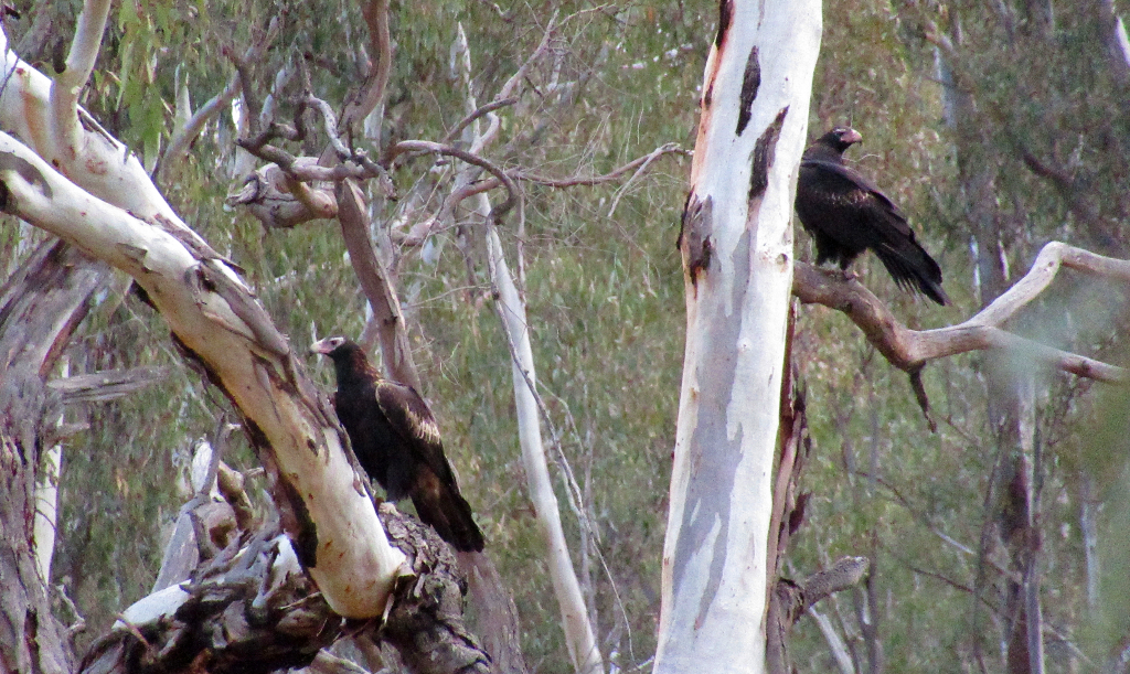
Eagles at Barmah.
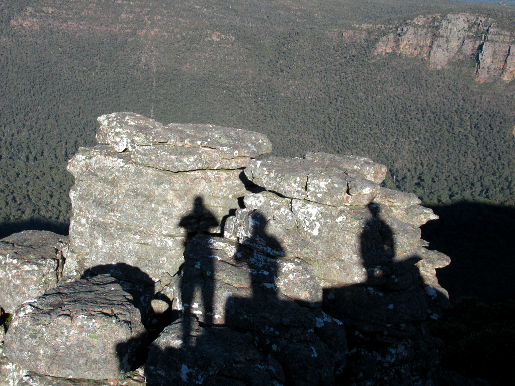
The local aboriginal name is Gariwerd, and the people have a 30,000 year connection to the land better known as The Grampians.

The Grampians National Park is one of the most visited in Victoria, situated 3 hours north-west of Melbourne.
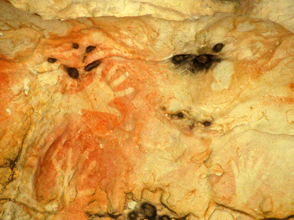
The park contains the state's best ancient rock art works. It is also a world famous rock climbing destination, and sometimes the two activities are incompatible.
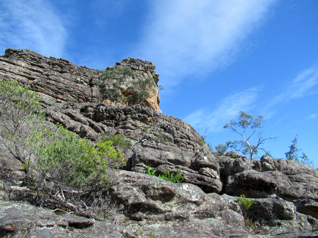
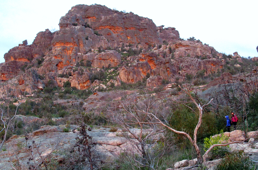
Most people come for the hiking.....
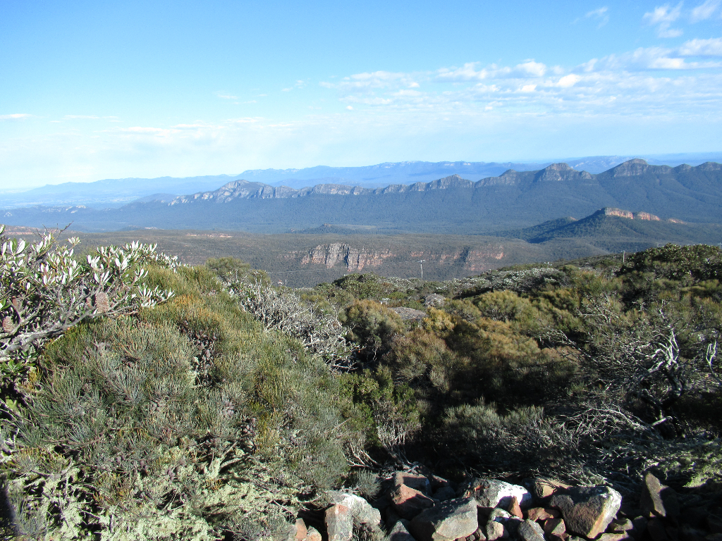
....and the views.
There are a number of free and paid campsites in the park, as well as commercial operators in nearby towns like Halls Gap.
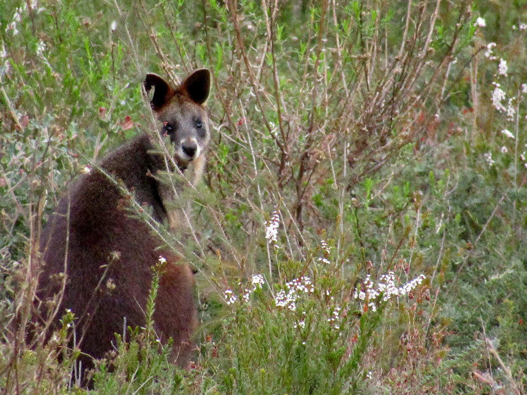
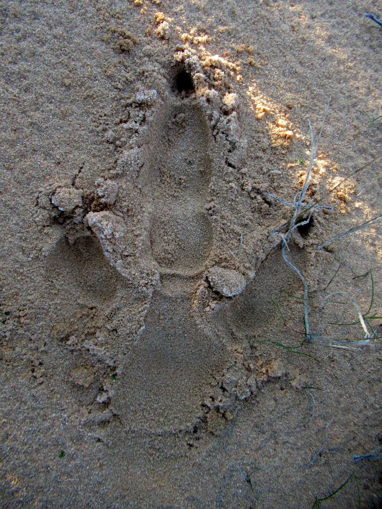
Wildife viewing here is really good. Take care when driving, especially at dusk, when wallabies, kangaroos and emus like to jump onto roads.
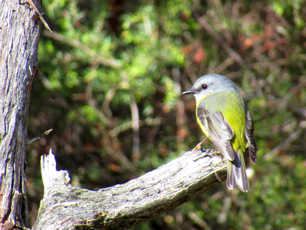
Besides native animals, there is some OK briding. Feral deer also wander the streets and tracks.
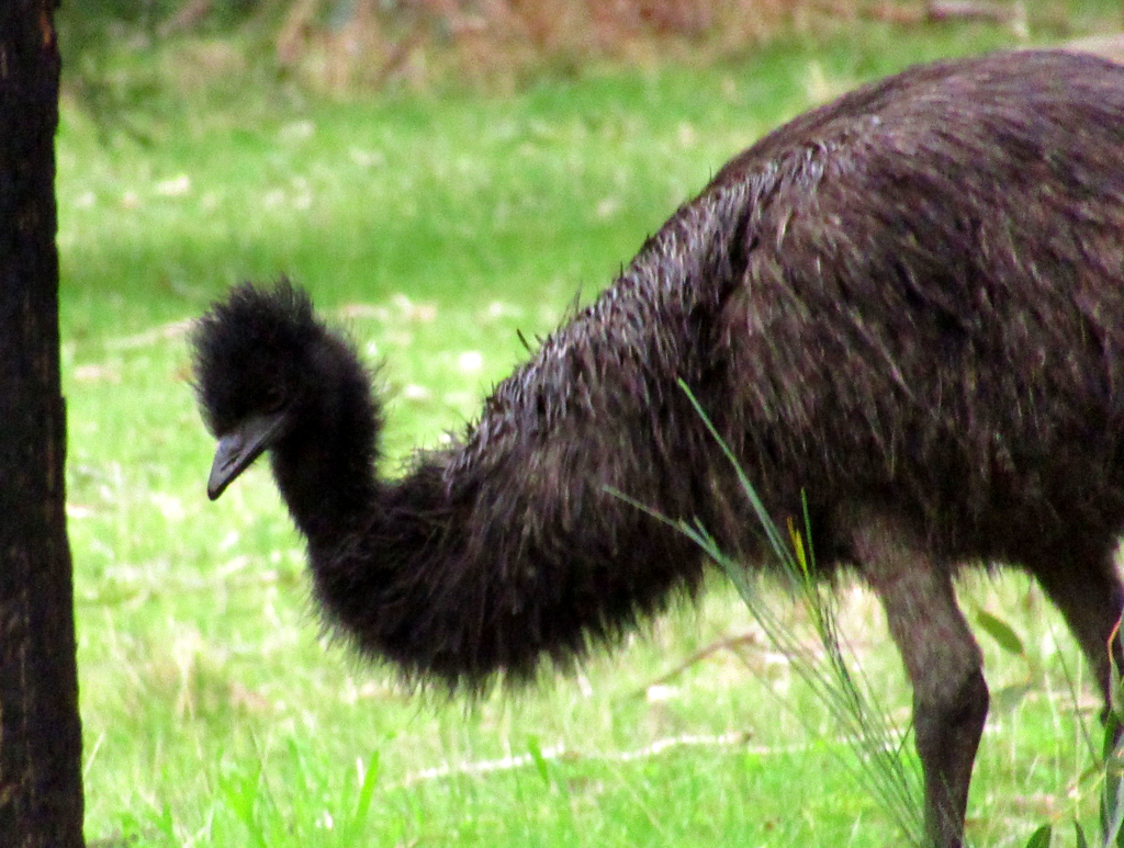
One of the many emus easily seen around Gariwerd/Grampians.
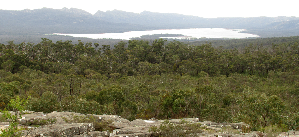
Weather is very changeable. Views like this can disappear and reappear in minutes.

Historical towns like Ararat are close, and to the south is Dunkeld, where the Royal Mail Hotel is one of the state's top restaurants.
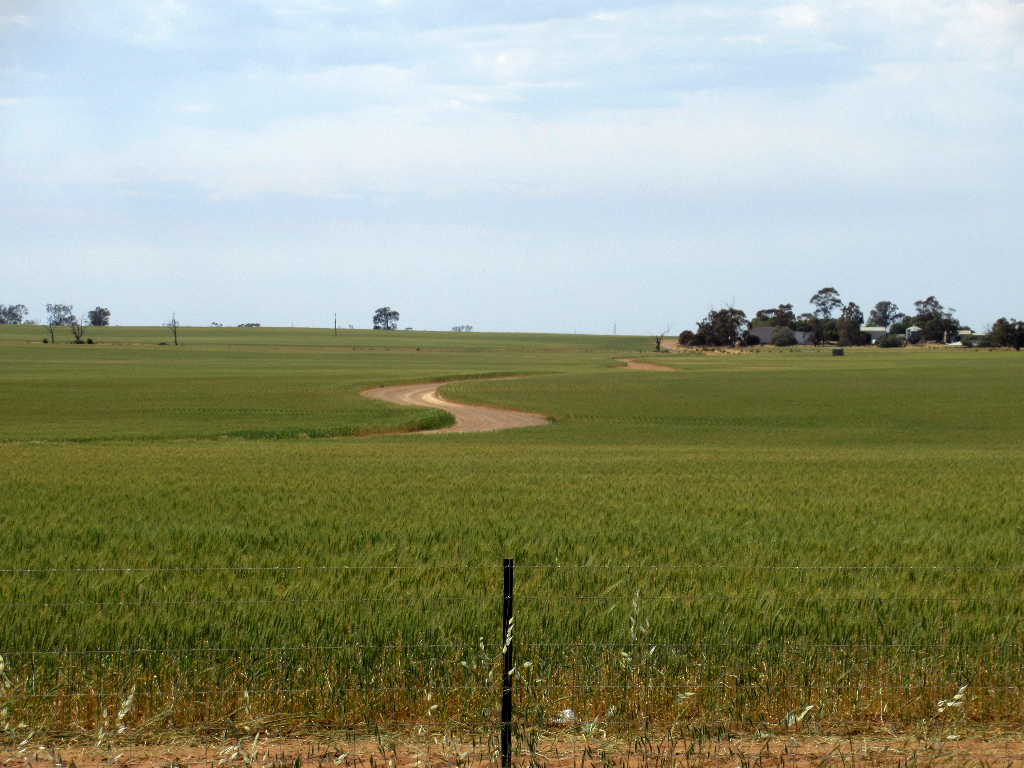
Grain crops like wheat and barley have been the staple since Europens came to this part of Australia.
While large farms were carved out (dispossessing the aboriginal peoples) natural areas remain in the many state and national park throughout the Mallee.
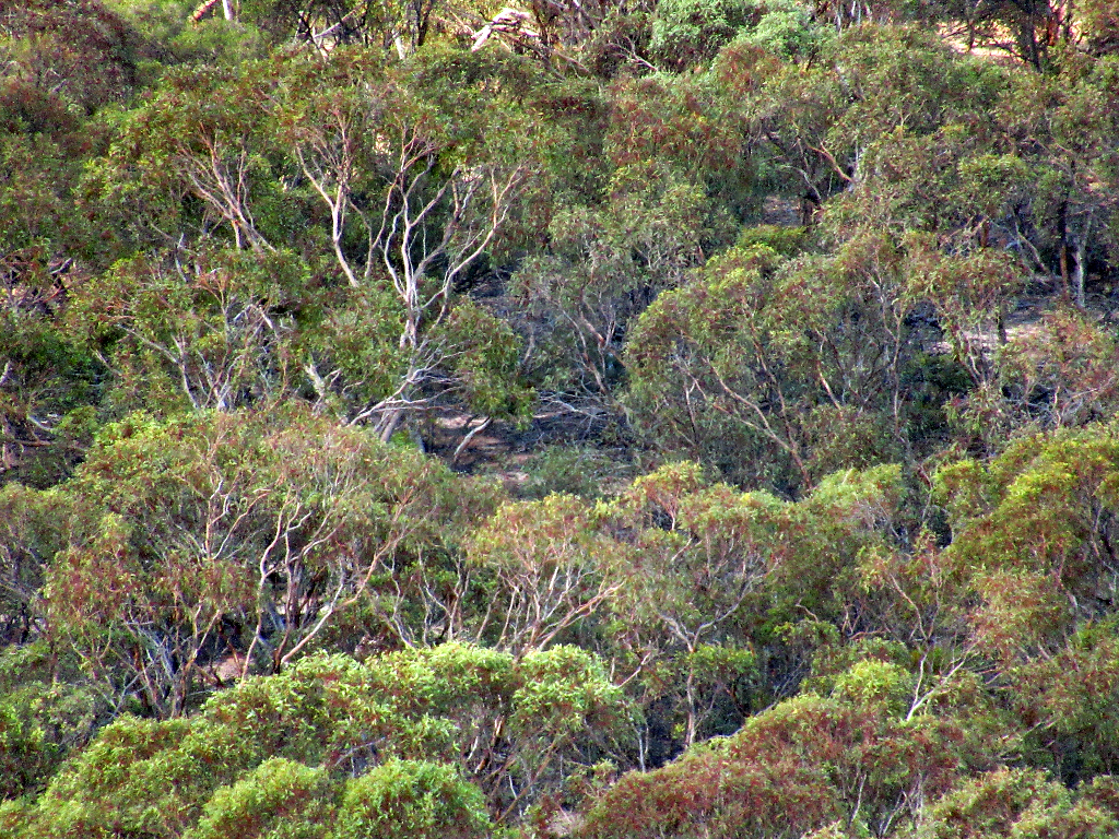
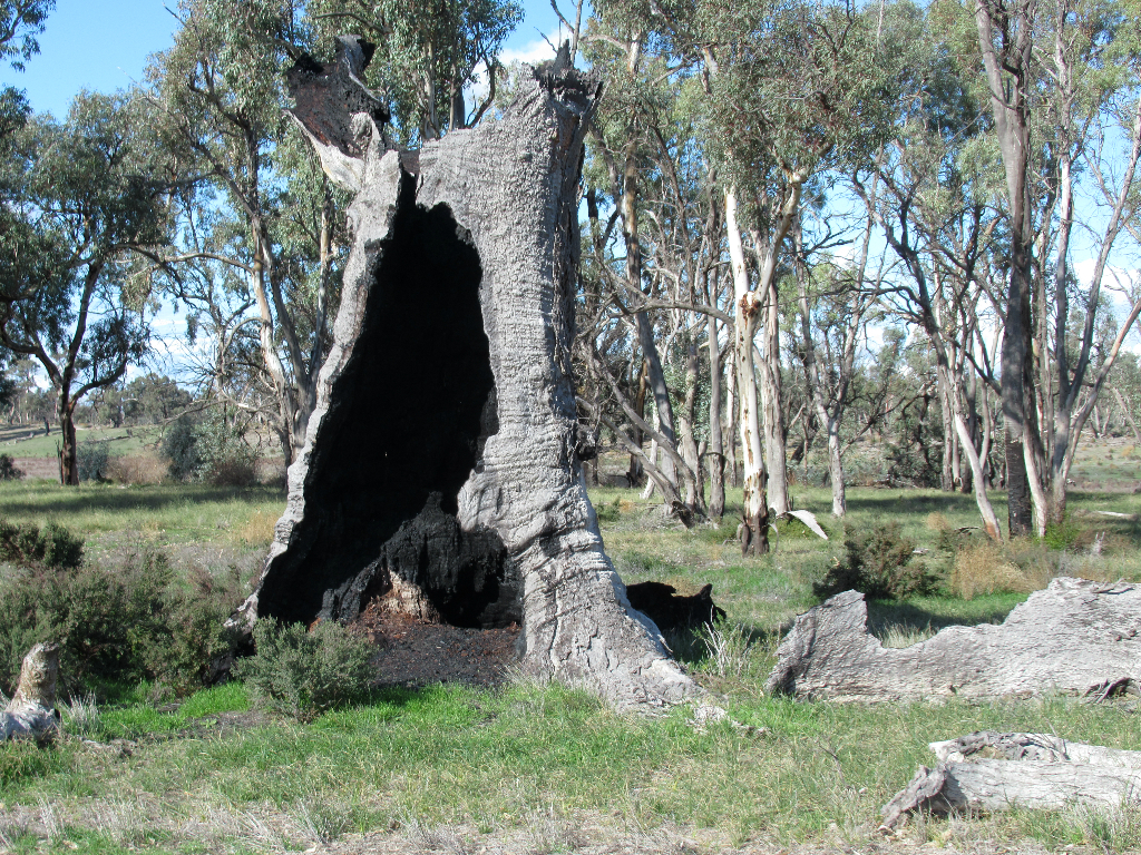
Whyperfeld National Park is surprisingly well forested for this part of the world, and is an excellent birding destination.
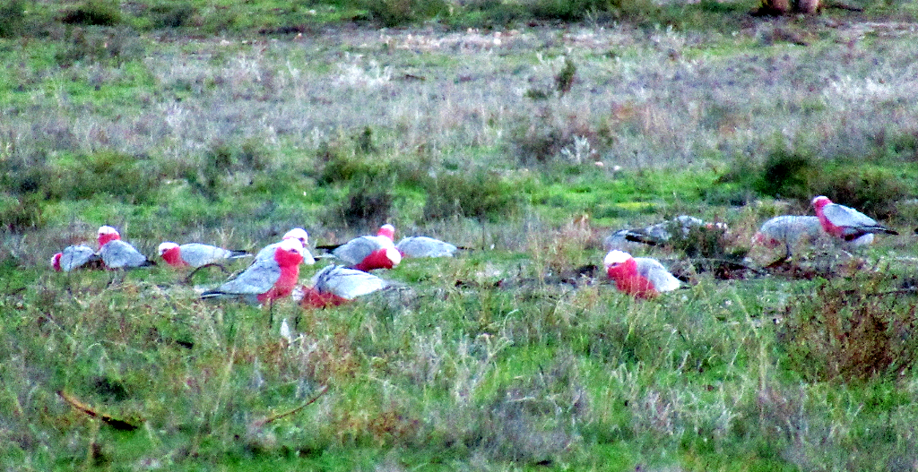
We saw a good number of species, including some of the local rarities, who are much less camera friendly than these galahs.
Emus roam the park, too.
Another view of Whyperfeld National Park.
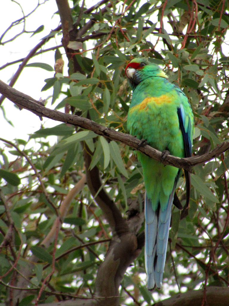
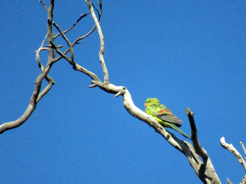
Australian ring-neck parrot, Whyperfeld National Park.
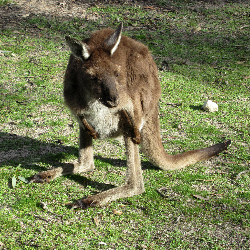
And there's always our old friends, kangaroos, alhough this one seemed to be a bit...special.
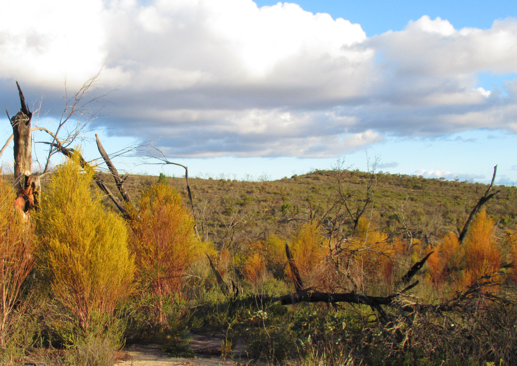
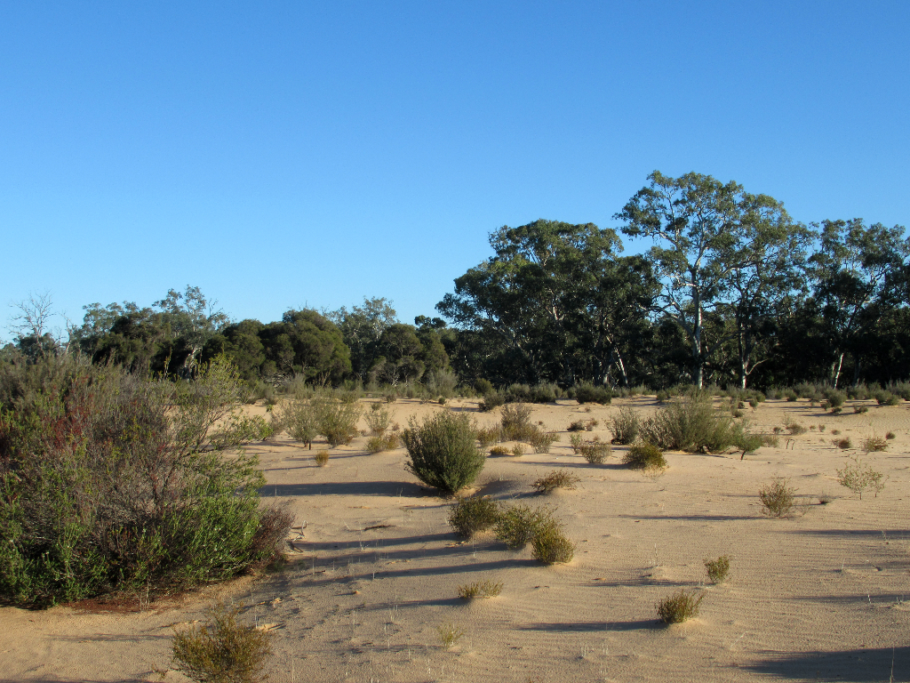
Further west from here, the rains and the population become sparser, the skies bigger and bluer.
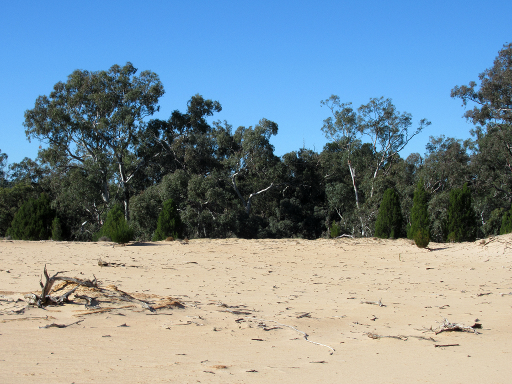
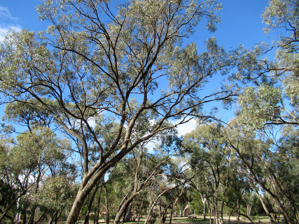
The landscapes and flora are varied with large woods....
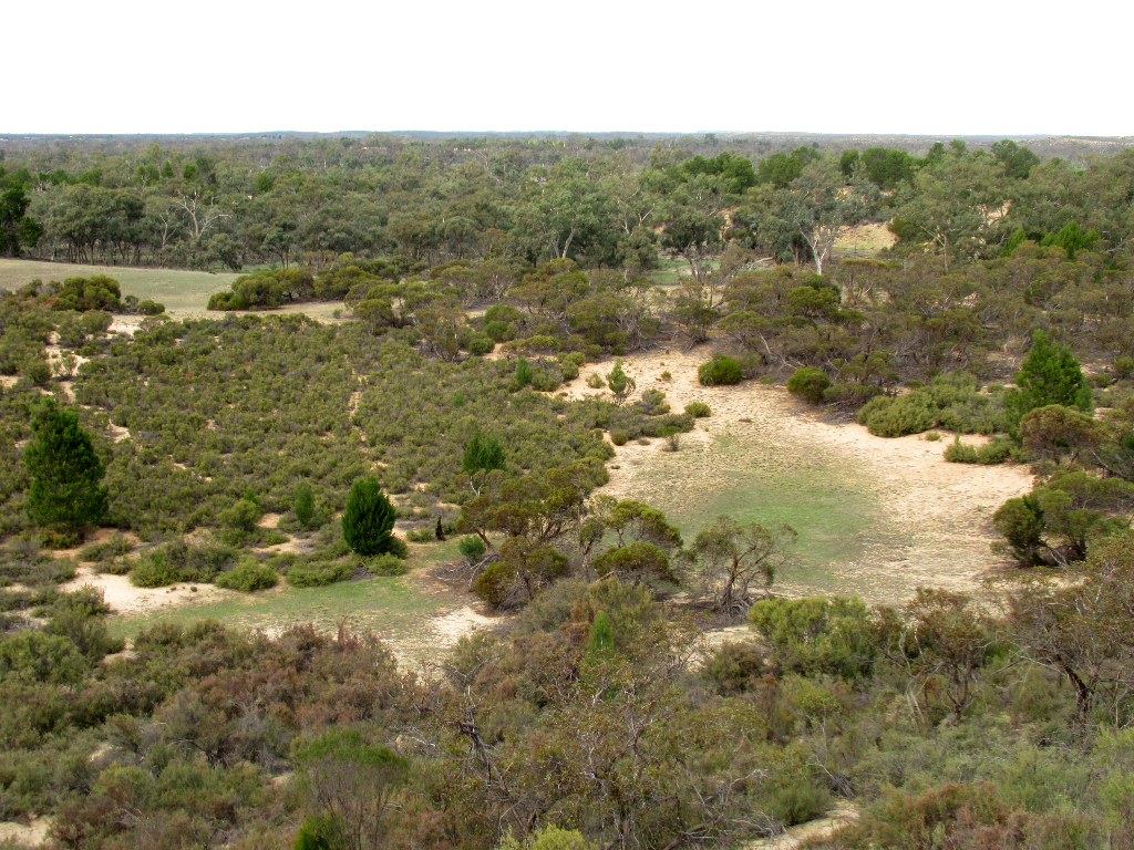
...and sandy shrubbed and grassed areas.
Some of the larger parks in Victoria's north west are 4WD only, but Little Desert National Park has some camps and tracks which are 2WD accessible.
Enjoy!
Sandy tracks are perfect for getting 2WD cars stuck in, but there are plenty of safe roads and walking options.
While it was mid winter, mid week, we did not see people in Little Desert until the afternoon we packed to leave.
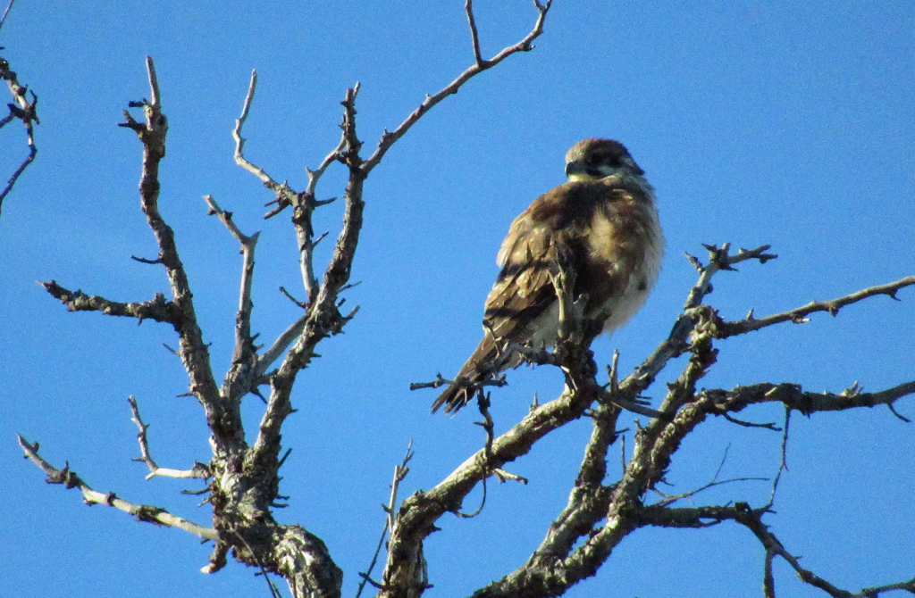
I'm guessing it's an eagle, but seems a bit fluffy. Maybe it was cold? Little Desert National Park.
Another busy day on the Gunbower Creek.
With The Murray River, Gunbower Creek forms Australia's largest inland island, Gunbower. Great, accessible camping.
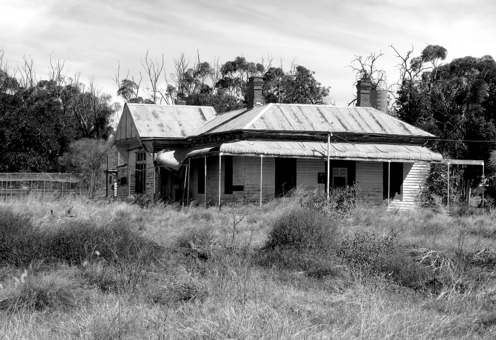
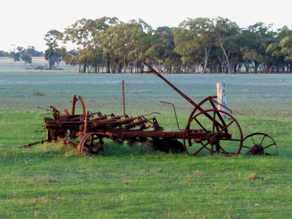
A typical Australian, early 20th century farmer's house, in Boort.
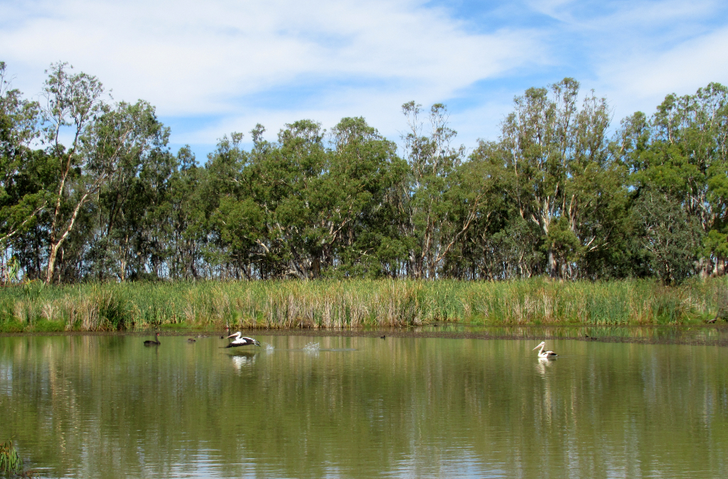
Pelicans take flight on Little Lake Boort.
A series of lakes and wetlands along The Murray make for excellent bird watching.
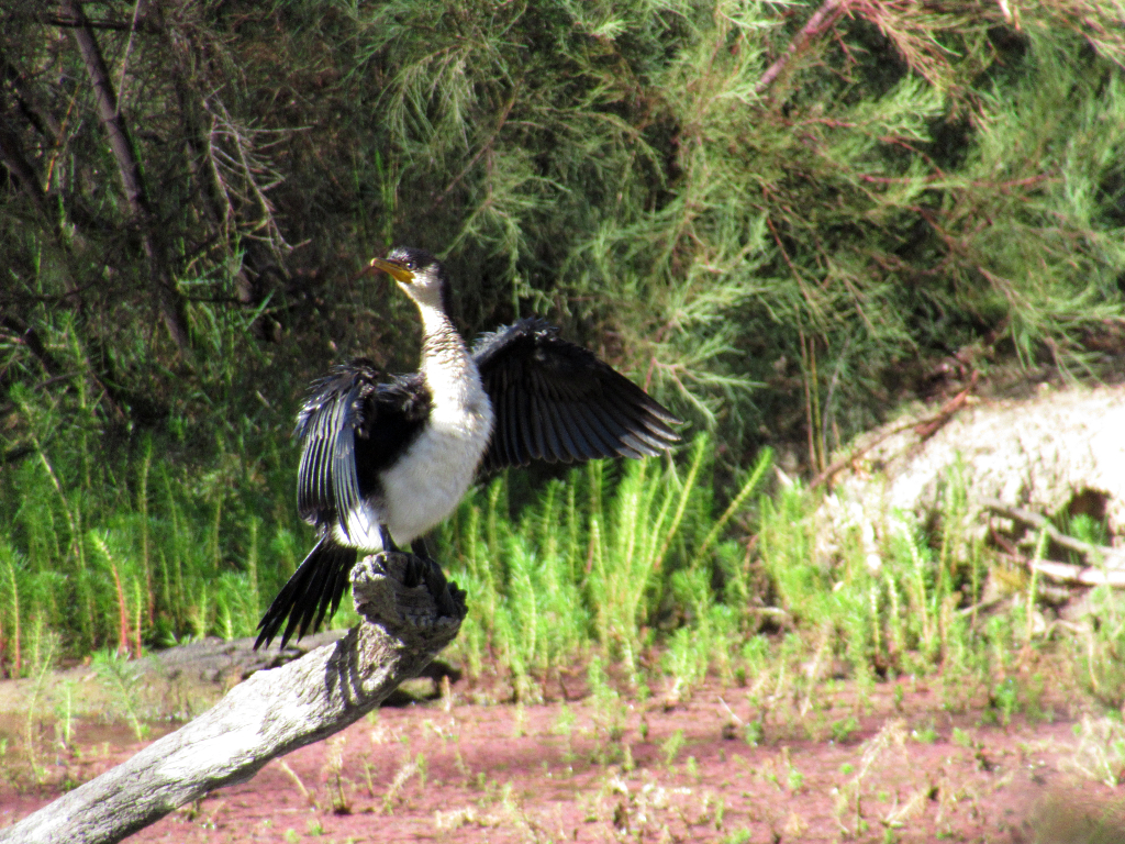
A pied comorant spreads its wings to dry, on the Gunbower Creek, Murray River country.