DOI PHA HOM POK, northern most national park in Thailand, and home to the highest campground in the country, hugs a mountainous curve in the Burma border. The Doi Ang Khang area in the south is one access point. Another is via Fang, and another up on the Kok River via Tha Ton.
A little further on from Tha Ton is an Yunnanese settlement town, Mae Sariang, with a colourful cast of characters in its history.
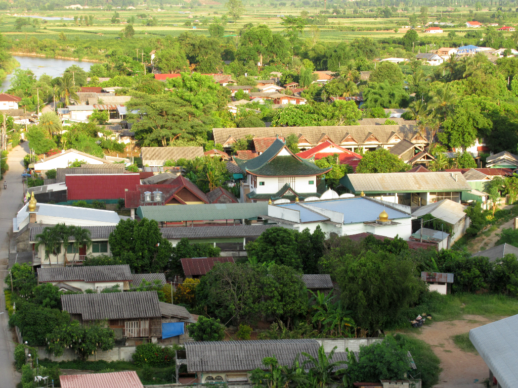
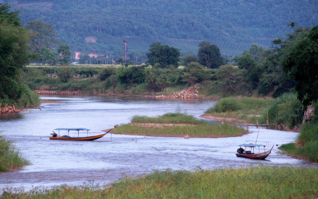
180km dead north of Chiang Mai, Tha Ton is a very pleasant town, set on a river, with fields and mounatins around.
A couple of Buddhist temples overlook the town from above the river.
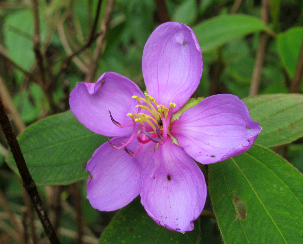
There were a number of birding sites to see in town, and in the mountains in Doi Pha Hom Pok National Park.
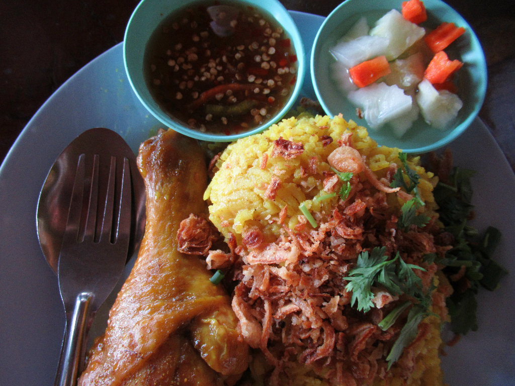
Kao mok gai is the Thai muslim biryani dish which I can't get enough of. Tha Ton's muslim resident came overland from China, generations ago.
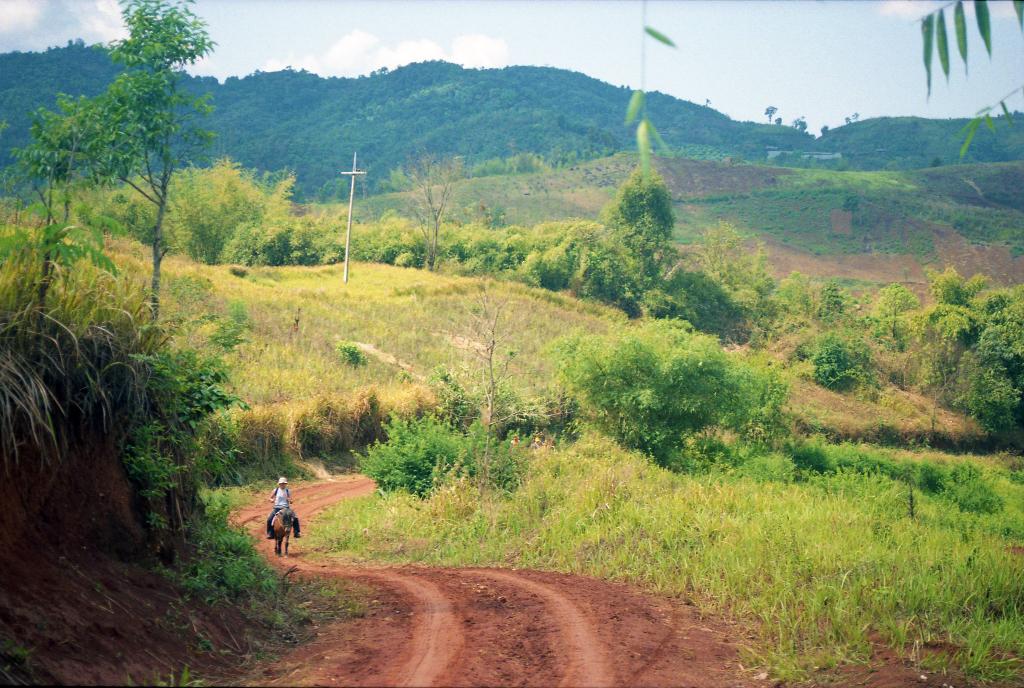
The area is home to various ethnic group, including Shan, Yao, Lisu, Lahu, Karen, and Akha. The villages between town and the national park are particularly picturesque.
The army had not allowed me to skirt the border all the way from Doi Ang Khang, sending me on a 60km detour.
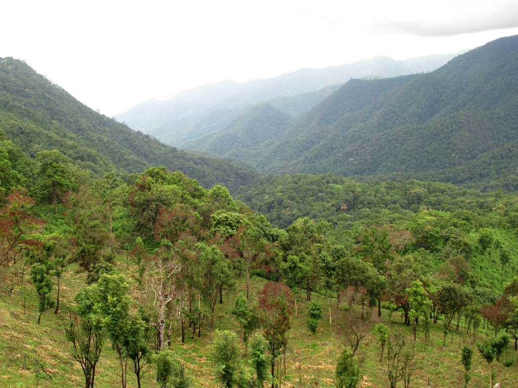
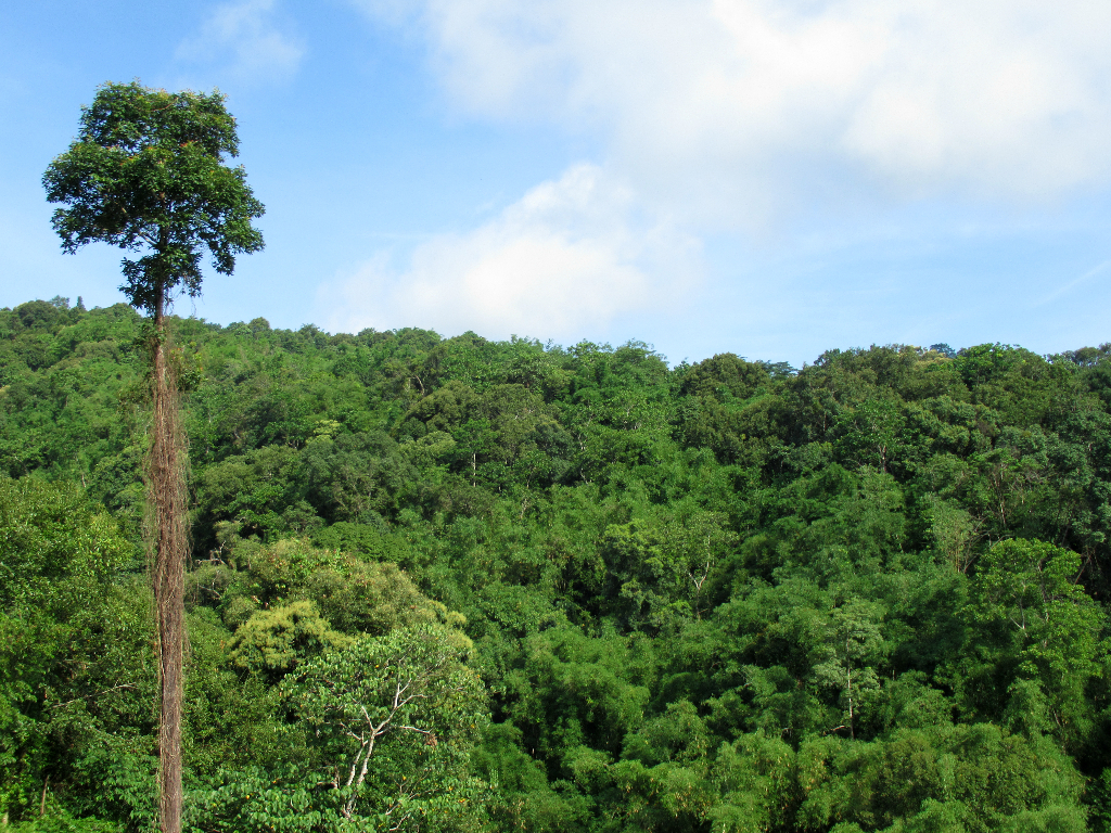
The road through the park from town though was scenic enough, with tall trees and views across the forbidden land of Burma.

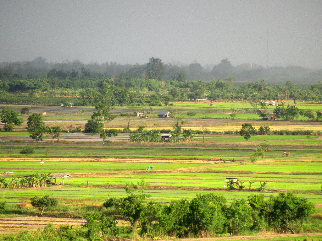
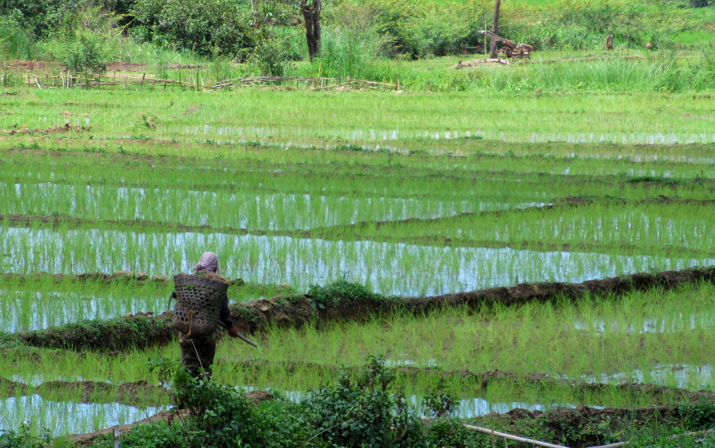
In the flat lands between the hills, the farms were some of the prettiest I have seen in Thailand.
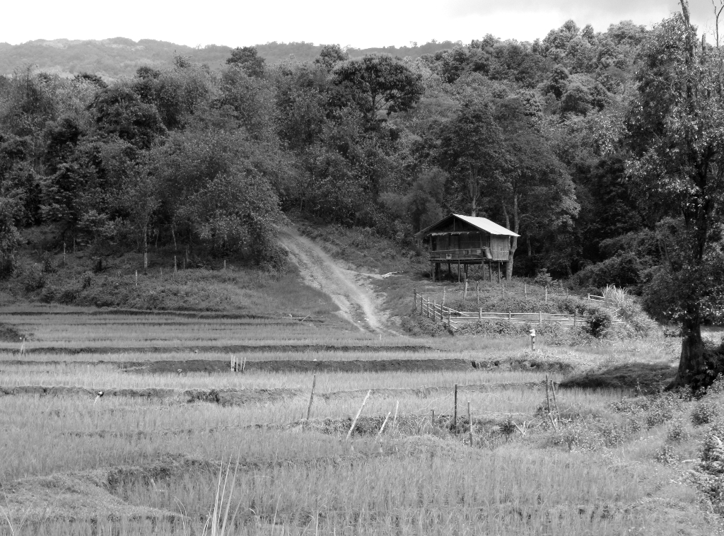
In many ways, it was the romantic ideal of rural Thai life.
I drove through the park for a few hours, admiring the forests and birds, until the road turned from rock to dirt to mud. I dropped the bike.
A Thai Army patrol picked me up, gave me some first aid, and I was OK to drive back. Hospital bill in town was B30 (US$1).

A small (5-6 stalls) night market compliments the town's restaurants, which are quite good too.
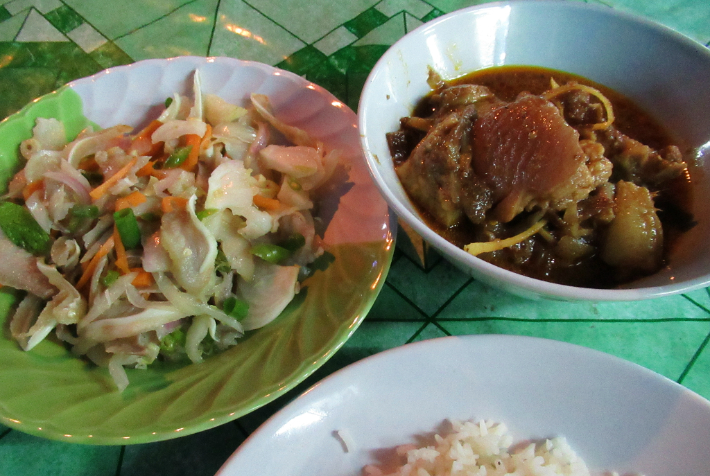
I know a few Thai words, "moo" (pork/pig), "yam" (salad), but needed sign language to get the full picture: pig's ear salad! Was OK. The pork curry never fails me.
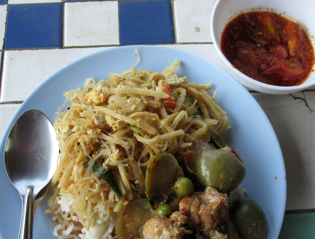
"Jungle curry" with vermicelli noodles and nam prik (chili dip).
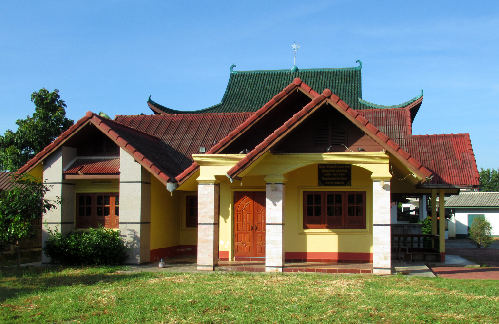
An Ro Ma mosque faces onto the Kok River. With its distinctively Chinese roof design, it is one of the more unusual mosques I have seen.
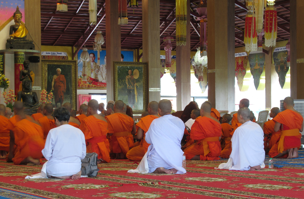
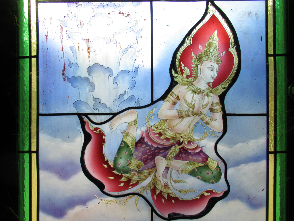
Wat Tha Ton and Phra Aram Luang is a complex of Buddhist temples and halls rising above town.
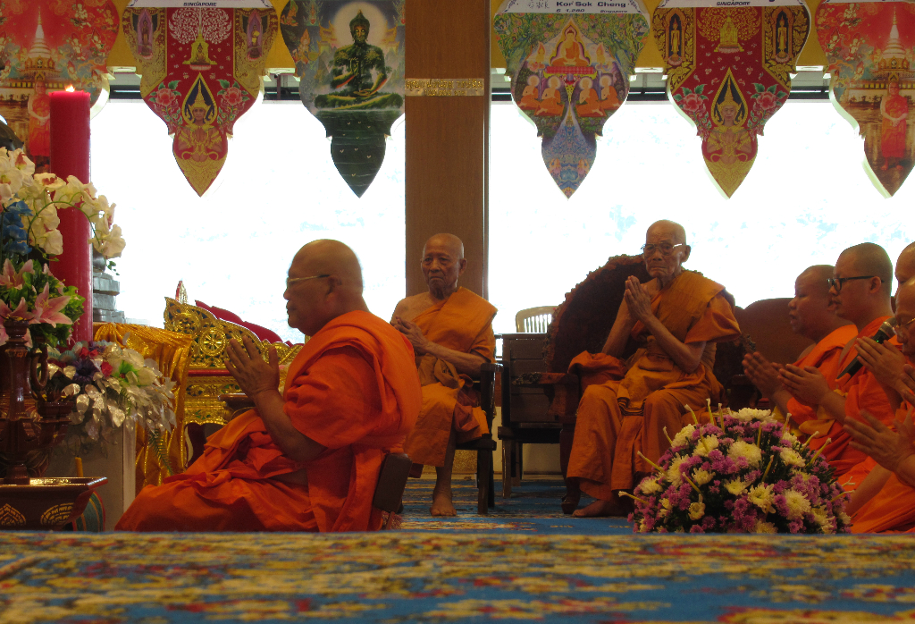
Senior monks lead prayer in a hall.
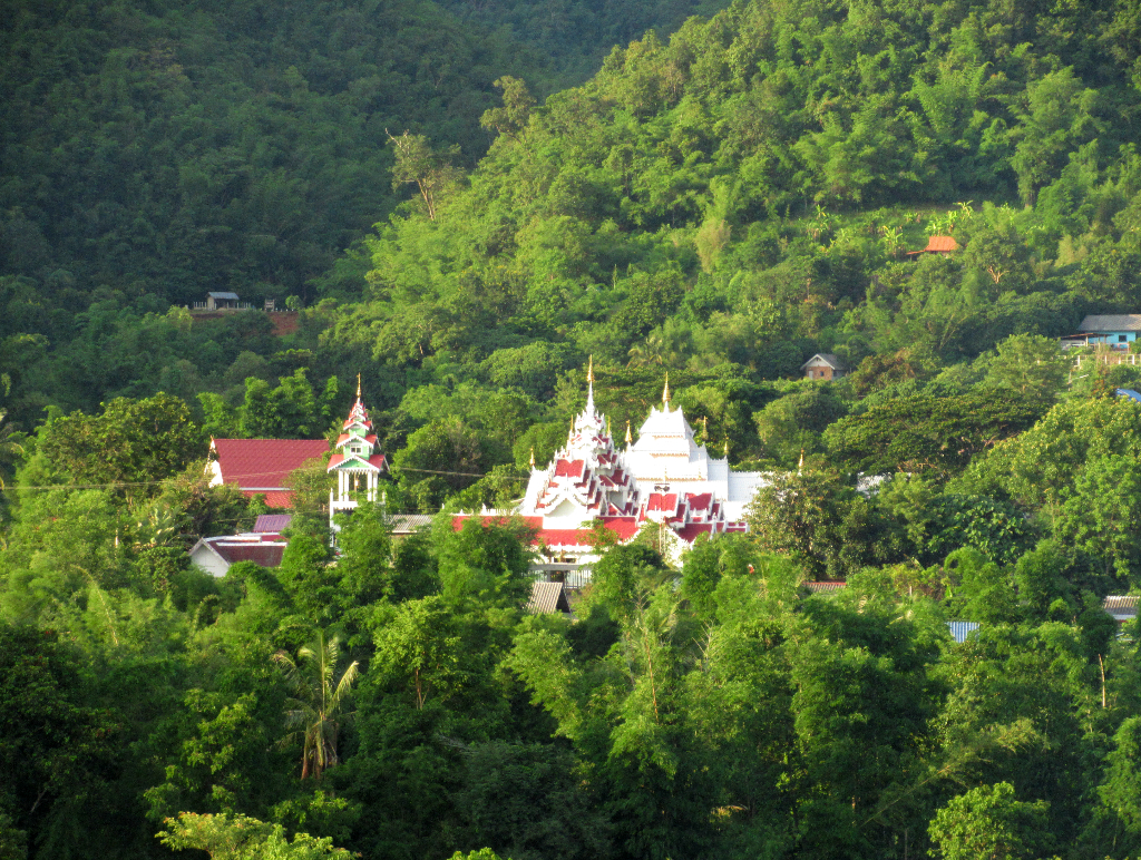
The town's newer, greener areas are on the northern bank, where Wat Kaeng Sai Mun stands out.
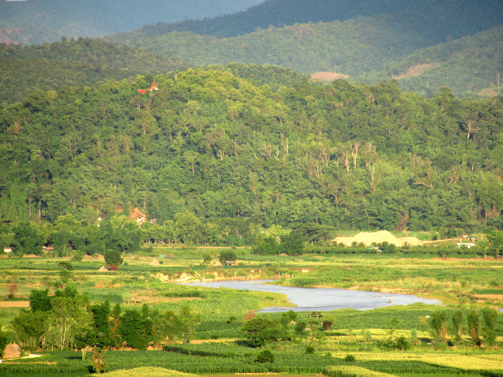
Farmland dominates to the east of town, as the river winds its way to the next set of hills.
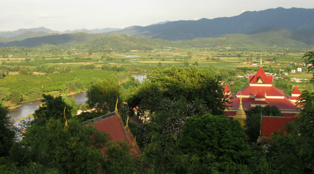
Wat Tha Ton provides some of the best views in town.
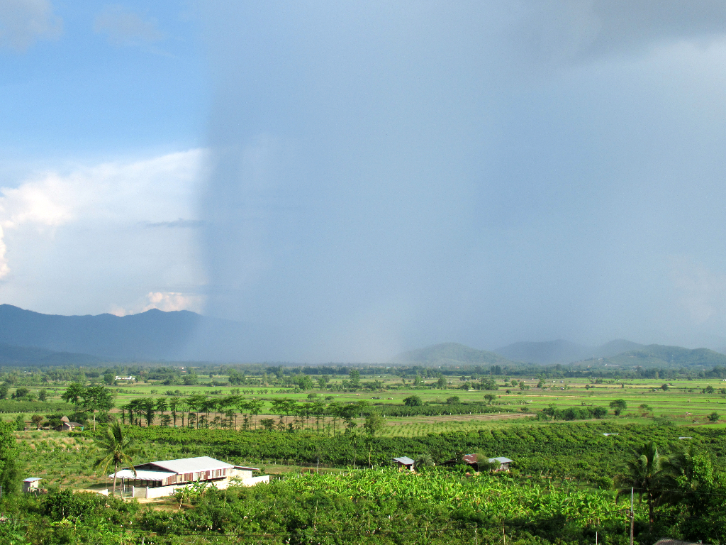
A number of hotels and cafes on the highway also make for good storm watching spots.
60km up the road in Chiang Rai province is Mae Salong, settled by fleeing remnants of China's KMT army.
These days, it's a carefree, rural spot, where Yunnanese dialects are heard as much as Thai. In the recent past, infamous opium lord Khun Sa ruled the forests just north of town.

Khun Sa now lives openly in Yangon. Mae Salong is great for exploring on bike or horse or foot.

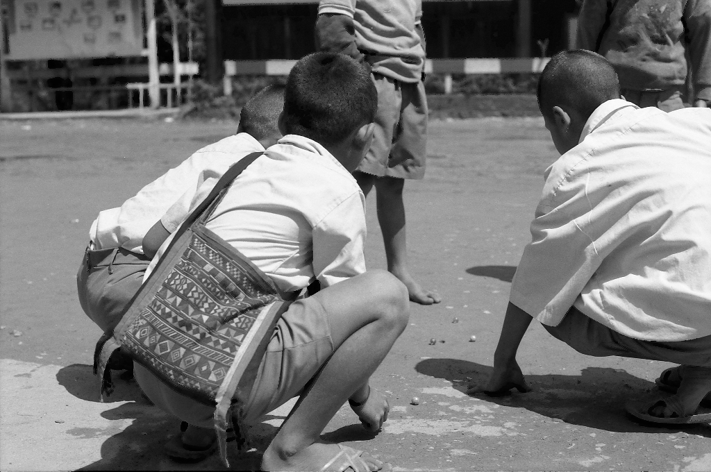
The farms, villages and markets are melting pot of tribes and cultures. Kids skip happily home from school, caring little for the forces which shaped their town.